Tettegouche State Park, State park with waterfalls in Lake County, Minnesota.
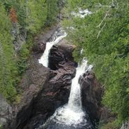
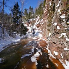
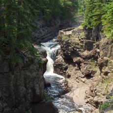
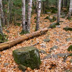
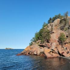
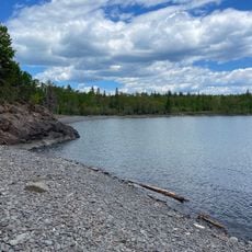
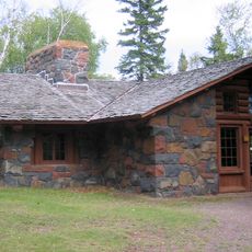
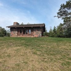
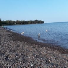
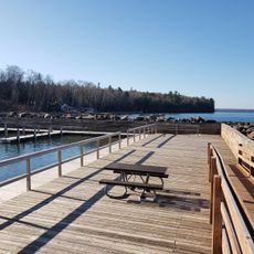
Tettegouche State Park is a protected area on the north shore of Lake Superior in Minnesota, where rivers tumble over rock ledges and thick forests surround four remote inland lakes. The rocky shoreline rises steeply above the lake, offering views across the open water and the wooded valleys beyond.
A timber company controlled the area until 1910, when a group of Duluth businessmen purchased the land and formed a private club. That club kept the grounds intact for six decades before transferring it to the state of Minnesota in 1971.
Native American tribes established the first trails through the region, creating pathways that modern hiking routes continue to follow across the park terrain.
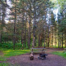
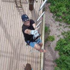
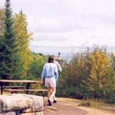
The trail network includes both short walks to overlooks and longer routes that push deeper into the backcountry, with some groomed for cross-country skiing in winter. Several campgrounds offer sites near parking areas, while remote cabins along the shores of distant lakes provide a quieter overnight option.
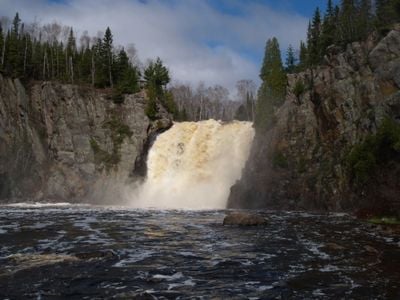
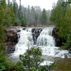
The Baptism River drops roughly 70 feet (21 meters) over a single rock ledge, forming the tallest waterfall entirely within Minnesota's borders. While other waterfalls in the state reach greater total heights over multiple tiers, this one remains the highest unbroken drop.
The community of curious travelers
AroundUs brings together thousands of curated places, local tips, and hidden gems, enriched daily by 60,000 contributors worldwide.