
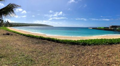
Kammer Beach, Strand in den Vereinigten Staaten
Location: Northern Mariana Islands
Address: XJ8F+7MF, San Jose, Tinian 96952, CNMI
GPS coordinates: 14.96361,145.62306
Latest update: March 21, 2025 20:30
Suicide Cliff
40.3 km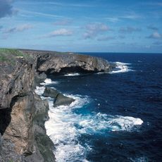
Banzai Cliff
41.7 km
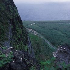
North Field
12.2 km
Military Air Transport Service
19.8 km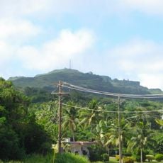
Mount Tapochau
28 km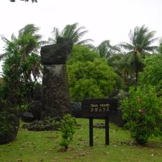
House of Taga
384 m
American Memorial Park
30 km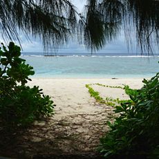
Guam National Wildlife Refuge
167.7 km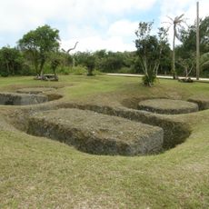
Rota Latte Stone Quarry
96.5 km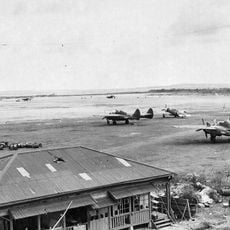
East Field
28.1 km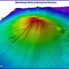
Northwest Rota
101 km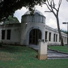
NMI Museum of History and Culture
28.5 km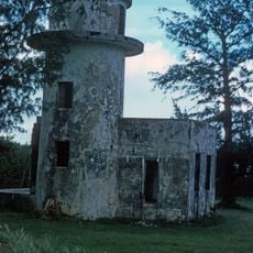
Japanese Lighthouse (Garapan, Saipan)
30 km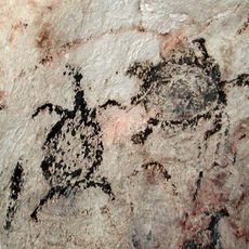
Chugai' Pictograph Site
98 km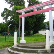
Sugar King Park
28.5 km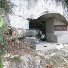
Japanese Coastal Defense Gun
106 km
Japanese Hospital
28.4 km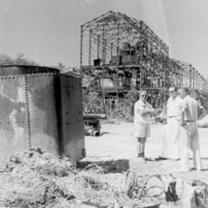
Nanyo Kohatsu Kabushiki Kaisha Sugar Mill
106 km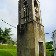
Catholic Belltower
28.3 km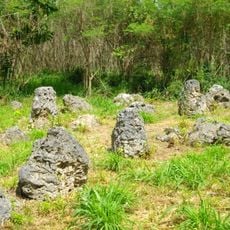
Laulau Kattan Latte Site
101.4 km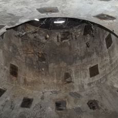
Japanese 20mm Cannon Blockhouse
18.5 km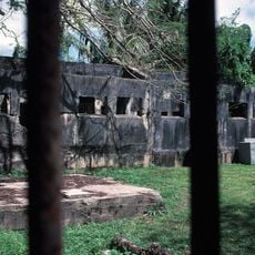
Japanese Jail Historic and Archeological District
44.3 km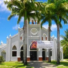
Santa Remedios Church
34.1 km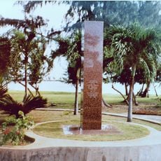
American Saipan Memorial
30.2 km
Mount Taipingot
107.6 km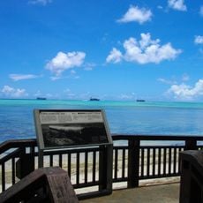
Landing Beaches; Aslito/Isely Field; & Marpi Point, Saipan Island
20.4 km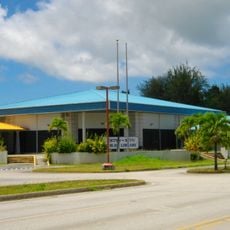
Joeten-Kiyu Public Library
23.3 km
Suicide Cliff
4 kmReviews
Visited this place? Tap the stars to rate it and share your experience / photos with the community! Try now! You can cancel it anytime.
Discover hidden gems everywhere you go!
From secret cafés to breathtaking viewpoints, skip the crowded tourist spots and find places that match your style. Our app makes it easy with voice search, smart filtering, route optimization, and insider tips from travelers worldwide. Download now for the complete mobile experience.

A unique approach to discovering new places❞
— Le Figaro
All the places worth exploring❞
— France Info
A tailor-made excursion in just a few clicks❞
— 20 Minutes