
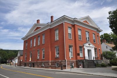
New Milford Center Historic District
New Milford Center Historic District, historic district in Connecticut, United States
Location: New Milford
Elevation above the sea: 90 m
GPS coordinates: 41.58093,-73.40901
Latest update: March 8, 2025 05:11
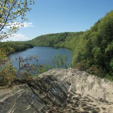
Lovers Leap State Park
4 km
Squantz Pond State Park
9.6 km
Bull's Bridge
13.4 km
Pawling Nature Reserve
12.8 km
Pootatuck State Forest
10.4 km
Akin Free Library
11.9 km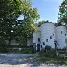
Hunt Hill Farm
6.8 km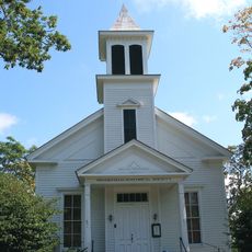
Brookfield Center Historic District (Brookfield, Connecticut)
12.7 km
Mount Bushnell State Park
12.7 km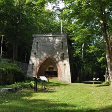
Mine Hills Preserve
6.5 km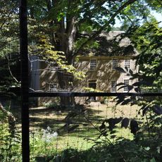
The Hollister Homestead
12.2 km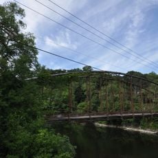
Boardman's Bridge
3.7 km
John Glover Noble House
8.5 km
Sherman Historic District
7.4 km
New Preston Hill Historic District
10.9 km
United Bank Building
468 m
Merryall Union Evangelical Society Chapel
7.4 km
J. S. Halpine Tobacco Warehouse
955 m
St. Andrew's Episcopal Church
9.7 km
E. A. Wildman & Co. Tobacco Warehouse
561 m
Washington Green Historic District
9.8 km
Bridgewater Center Historic District
6.2 km
Calhoun-Ives Historic District
10.8 km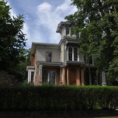
Frederick S. Sanford House
5.9 km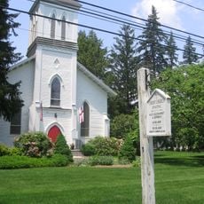
Roxbury Center
8.9 km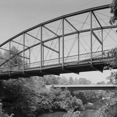
Lover's Leap Bridge
4.1 km
Bank Street Theater
465 m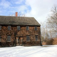
Oblong Friends Meeting House
11.1 kmVisited this place? Tap the stars to rate it and share your experience / photos with the community! Try now! You can cancel it anytime.
Discover hidden gems everywhere you go!
From secret cafés to breathtaking viewpoints, skip the crowded tourist spots and find places that match your style. Our app makes it easy with voice search, smart filtering, route optimization, and insider tips from travelers worldwide. Download now for the complete mobile experience.

A unique approach to discovering new places❞
— Le Figaro
All the places worth exploring❞
— France Info
A tailor-made excursion in just a few clicks❞
— 20 Minutes