Obstruction Peak, Mountain summit in Olympic National Park, United States.
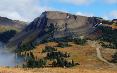
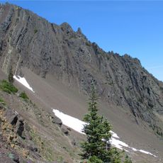
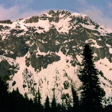
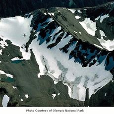
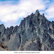
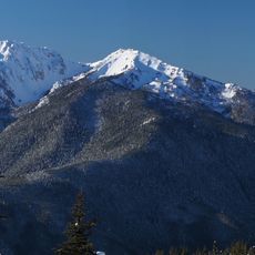
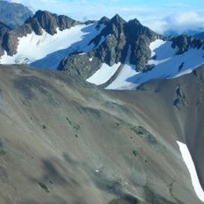
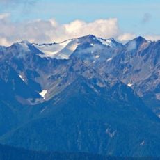
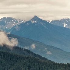
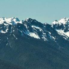
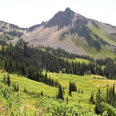
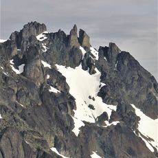
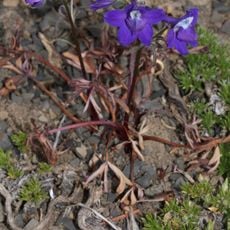
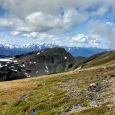
Obstruction Peak is a 6,450-foot mountain within the Olympic Mountains featuring gentle slopes on the southern side and steep terrain on the north and east faces. The surrounding ridgeline displays exposed rock formations and alpine meadows typical of the mountain's higher elevations.
An early settler named Cameron gave the peak its name after facing difficulties while building a trail along the ridgeline. The naming reflects the challenges that pioneers encountered when exploring and developing access routes through this alpine region.
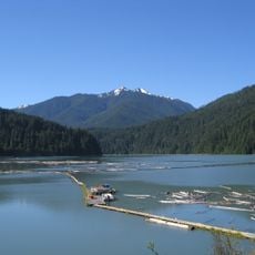
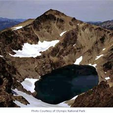
The summit functions as a triple divide point where waters flow into three separate river systems: the Elwha, Dungeness, and Morse Creek.
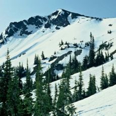
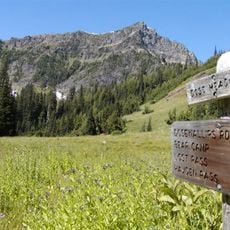
Plan to drive eight miles on the dirt road from Hurricane Ridge to reach the Obstruction Point trailhead, then hike a half-mile to the peak. Visit during summer and early fall when the road is fully open and snow has melted from the higher elevations.
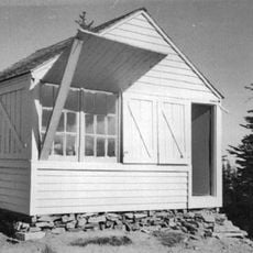
The summit features an unusual hexagonal USGS survey marker instead of the round markers found on most other peaks. This distinctive marker becomes a noteworthy detail that hikers often discover upon reaching the top.
The community of curious travelers
AroundUs brings together thousands of curated places, local tips, and hidden gems, enriched daily by 60,000 contributors worldwide.