Enable Location

We need your location to show you interesting places around you

Discover nearby places

Find interesting locations and hidden gems around you

Precise directions

Get accurate directions and distances to places

Your location is never shared with other users. It's only used when you tap the location button.

Lake Mills

Log in to your account

Start exploring — it's free

Trusted by 62,374 travelers worldwide

Continue with Google
Continue with Apple
or

We will send you a code to connect

By continuing, you accept our Terms and Conditions and our Privacy Policy

Check your inbox

We've sent a pincode in your inbox. Please enter the code below.

Lake Mills

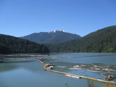
Lake Mills, lake of the United States of America

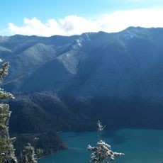
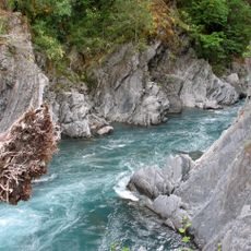
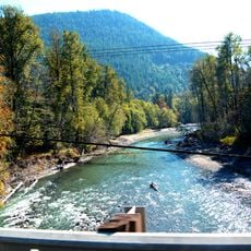
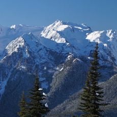
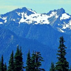
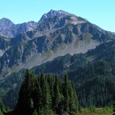
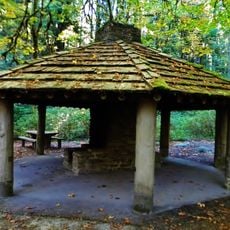
Lake Mills is a former reservoir in Olympic National Park, Washington, that was completely drained after the removal of the Elwha Dam in 2014. The site now shows the former lakebed covered with sediment and recovering vegetation, where visitors can walk along trails that wind through regenerating forest and past the Elwha River flowing freely again.

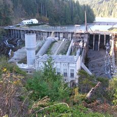
The reservoir was created in 1927 when a dam was built across the Elwha River, fundamentally changing the landscape for nearly a century. The Elwha Ecosystem Restoration project resulted in the removal of the Glines Canyon Dam in 2014, marking one of the largest dam deconstructions in the United States.

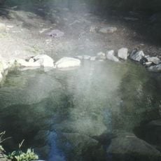
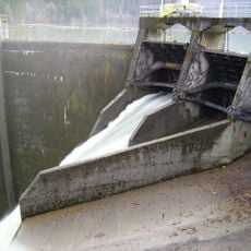
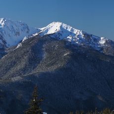
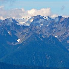
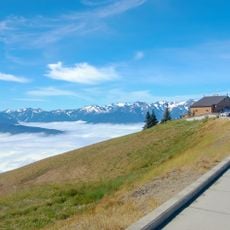
The site reflects ongoing efforts to restore natural conditions after decades of dam control over the river. Visitors can witness how the landscape is healing and how free-flowing water now shapes the area in new ways.

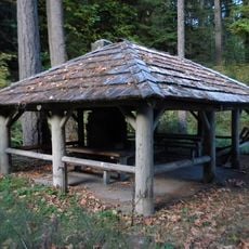
Access to the area is from the Madison Falls Trailhead near Port Angeles, with multiple trails available for exploration through recovering forest and along the river. Visitors should bring water or be prepared to treat it from streams, carry map and compass, and dress in layers for rapidly changing weather conditions.

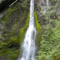
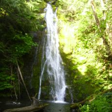
This site represents one of North America's largest dam removal projects, where natural processes are reclaiming a landscape reshaped by human control for decades. Boulder Creek and its small cascade demonstrate how mountain water now flows freely through the basin after the barrier was removed.

The community of curious travelers

AroundUs brings together thousands of curated places, local tips, and hidden gems, enriched daily by 60,000 contributors worldwide.

Start exploring
Location
GPS coordinates
48.00190,-123.60000
Latest update
February 9, 2026 08:21
Around this place
Show the full map
« Lake Mills - lake of the United States of America » is provided by Around Us (aroundus.com). Images and texts are derived from Wikimedia project under a Creative Commons license. You are allowed to copy, distribute, and modify copies of this page, under the conditions set by the license, as long as this note is clearly visible.

Discover hidden gems everywhere you go!

From secret cafés to breathtaking viewpoints, skip the crowded tourist spots and find places that match your style. Our app makes it easy with voice search, smart filtering, route optimization, and insider tips from travelers worldwide. Download now for the complete mobile experience.

Around Us App Screenshot

A unique approach to discovering new places

Le Figaro

All the places worth exploring

France Info

A tailor-made excursion in just a few clicks

20 Minutes

Around Us
Travel Guide & Maps
Download

Send to your phone

QR Code
1

Open the camera app on your mobile.

2

Point at the QR code with your camera. A notification will appear.

3

Tap the notification to open the link.