
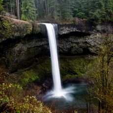
Ayers Creek Falls, Overfalls in Oregon, USA
Location: Oregon
Elevation above the sea: 440 m
GPS coordinates: 44.81182,-122.58835
Latest update: April 16, 2025 08:33
Silver Falls State Park
5.2 km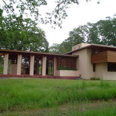
Gordon House
26.1 km
Oregon Garden
26 km
Santiam State Forest
17.1 km
Table Rock Wilderness
25.6 km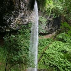
Shellburg Falls
1.6 km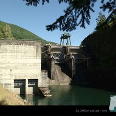
Big Cliff Dam
25.1 km
Calvary Lutheran Church and Parsonage
26.2 km
Winter Falls
9.1 km
Stayton–Jordan Bridge
15.7 km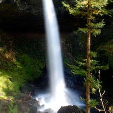
North Falls
8.6 km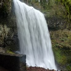
Lower South Falls
10 km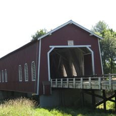
Shimanek Bridge
20.2 km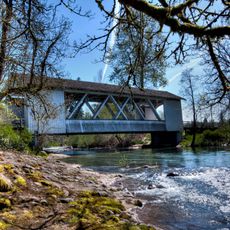
Larwood Bridge
23.5 km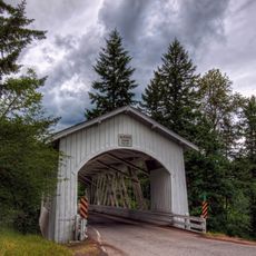
Hannah Bridge
15.2 km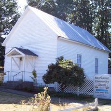
Mt. Pleasant Community Church
13.6 km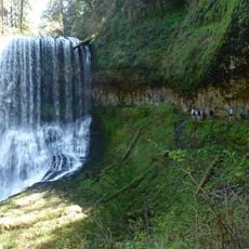
Middle North Falls
9.6 km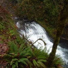
Drake Falls
9.8 km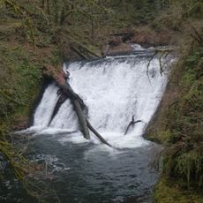
Lower North Falls
10 km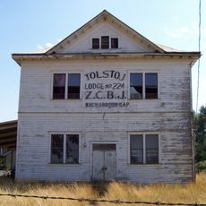
Z.C.B.J. Tolstoj Lodge No. 224
23.9 km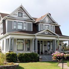
Joseph Wesely House and Barn
24.2 km
June D. Drake House
26.2 km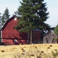
David and Maggie Aegerter Barn
14.2 km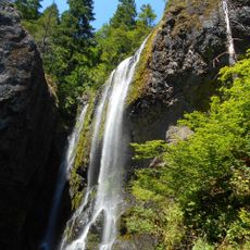
Henline Falls
20.1 km
E. C. Perry Building
23.7 km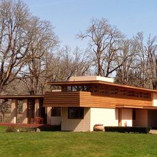
Gordon House
26.1 km
Twin Falls
9 km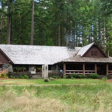
South Falls Lodge
9.2 kmReviews
Visited this place? Tap the stars to rate it and share your experience / photos with the community! Try now! You can cancel it anytime.
Discover hidden gems everywhere you go!
From secret cafés to breathtaking viewpoints, skip the crowded tourist spots and find places that match your style. Our app makes it easy with voice search, smart filtering, route optimization, and insider tips from travelers worldwide. Download now for the complete mobile experience.

A unique approach to discovering new places❞
— Le Figaro
All the places worth exploring❞
— France Info
A tailor-made excursion in just a few clicks❞
— 20 Minutes