
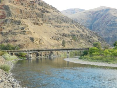
Grande Ronde River Bridge, riveted steel girder bridge
Location: Asotin County
Inception: 1941
GPS coordinates: 46.04159,-117.25251
Latest update: November 28, 2025 14:29
Nez Perce National Historical Park
55.9 km
Wenaha–Tucannon Wilderness
29.8 km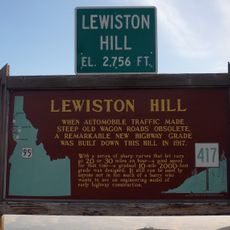
Lewiston Hill
51.5 km
Fields Spring State Park
7.4 km
Fort Lapwai
56.5 km
Minam State Recreation Area
46.1 km
Wenaha Wildlife Area
25.6 km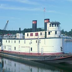
Sternwheeler Jean
39.5 km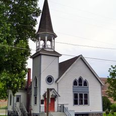
Full Gospel Church
36.8 km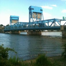
Interstate Highway Bridge
45.4 km
Billy Meadows Guard Station
28.7 km
Kirkland Lookout Ground House
24.5 km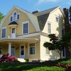
Gaylord Thompson House
44.5 km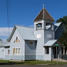
First Presbyterian Church
53.2 km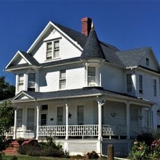
21 Ranchhouse
36.6 km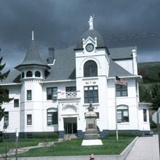
Garfield County Courthouse
55.2 km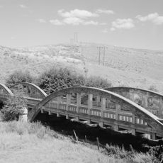
Indian Timothy Memorial Bridge
41.3 km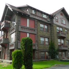
Nave Apartments
45.1 km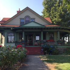
James Asposas House
44.6 km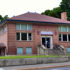
Clarkston Public Library
44.1 km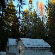
Hoodoo Ridge Lookout
29.6 km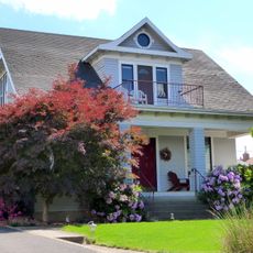
Frank Booth House
44.4 km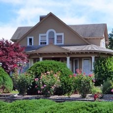
William and Elizabeth McLaren House
44.6 km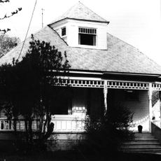
Hunter–Morelock House
56.6 km
C. C. Van Arsdol House
43.4 km
Agnes M. Tamblyn House
44.3 km
Temple Theatre
45.7 km
First Lapwai Bank
52.9 kmVisited this place? Tap the stars to rate it and share your experience / photos with the community! Try now! You can cancel it anytime.
Discover hidden gems everywhere you go!
From secret cafés to breathtaking viewpoints, skip the crowded tourist spots and find places that match your style. Our app makes it easy with voice search, smart filtering, route optimization, and insider tips from travelers worldwide. Download now for the complete mobile experience.

A unique approach to discovering new places❞
— Le Figaro
All the places worth exploring❞
— France Info
A tailor-made excursion in just a few clicks❞
— 20 Minutes