Enable Location

We need your location to show you interesting places around you

Discover nearby places

Find interesting locations and hidden gems around you

Precise directions

Get accurate directions and distances to places

Your location is never shared with other users. It's only used when you tap the location button.

Asotin County

Log in to your account

Start exploring — it's free

Trusted by 62,430 travelers worldwide

Continue with Google
Continue with Apple
or

We will send you a code to connect

By continuing, you accept our Terms and Conditions and our Privacy Policy

Check your inbox

We've sent a pincode in your inbox. Please enter the code below.

Asotin County, County in southeastern Washington, United States.

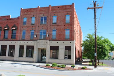
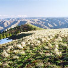
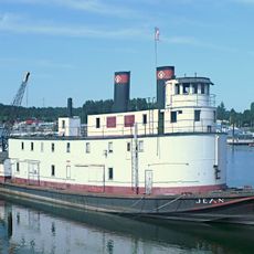
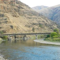
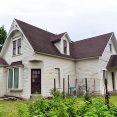
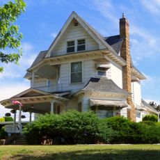
Asotin County is a county in southeastern Washington where three states meet, with Oregon and Idaho forming natural borders nearby. The area centers on farmland and includes the towns of Asotin and Clarkston connected by rural roads and the Snake River.

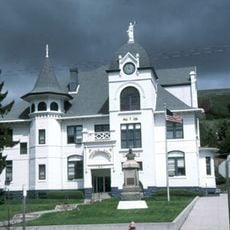
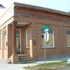
This county was established in 1883 when it separated from Garfield County, with its government based in the town of Asotin. This split allowed the region to develop its own local administration and governance structure.

The name comes from the Nez Perce language and means eagle creek, reflecting the Native American heritage rooted in this region. Local communities have long connected with this place through its indigenous origins.

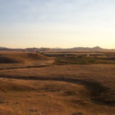
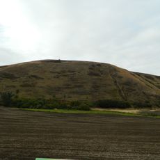
The region relies on a network of rural roads connecting farms and small towns, making a vehicle necessary for most travel. Visitors should expect a quiet, agricultural landscape where services are spread out and planning ahead is helpful.

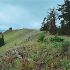
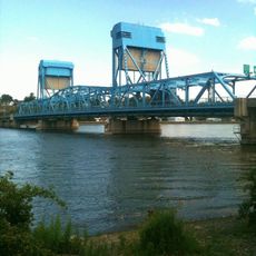
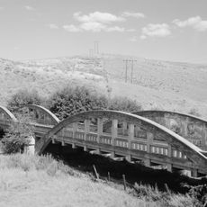
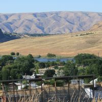
The Snake River marks the eastern boundary and provides water resources that support farming throughout the region. This river has shaped both the land itself and how people have built their economy here.

The community of curious travelers

AroundUs brings together thousands of curated places, local tips, and hidden gems, enriched daily by 60,000 contributors worldwide.

Start exploring
Location
Inception
1883
Capital city
Asotin
Shares border with
Whitman County, Nez Perce County, Wallowa County, Garfield County
GPS coordinates
46.18000,-117.19000
Latest update
December 7, 2025 10:08
Around this place
Nez Perce National Historical Park
United States of America

Nez Perce National Historical Park

41 km
Wenaha–Tucannon Wilderness
United States of America

Wenaha–Tucannon Wilderness

38.2 km
Lewiston Hill
United States of America

Lewiston Hill

35.6 km
Fields Spring State Park
United States of America

Fields Spring State Park

11.5 km
Fort Lapwai
United States of America

Fort Lapwai

41.5 km
Wenaha Wildlife Area
United States of America

Wenaha Wildlife Area

39.8 km
Lewis and Clark Trail-Travois Road
United States of America

Lewis and Clark Trail-Travois Road

38.7 km
Sternwheeler Jean
United States of America

Sternwheeler Jean

23.5 km
Full Gospel Church
United States of America

Full Gospel Church

21 km
St. Boniface Church, Convent and Rectory
United States of America

St. Boniface Church, Convent and Rectory

40.8 km
Interstate Highway Bridge
United States of America

Interstate Highway Bridge

29.3 km
Billy Meadows Guard Station
United States of America

Billy Meadows Guard Station

40.7 km
Kirkland Lookout Ground House
United States of America

Kirkland Lookout Ground House

38.4 km
Gaylord Thompson House
United States of America

Gaylord Thompson House

28.6 km
First Presbyterian Church
United States of America

First Presbyterian Church

38.9 km
21 Ranchhouse
United States of America

21 Ranchhouse

26 km
Garfield County Courthouse
United States of America

Garfield County Courthouse

45.6 km
Indian Timothy Memorial Bridge
United States of America

Indian Timothy Memorial Bridge

25.9 km
Grande Ronde River Bridge
United States of America

Grande Ronde River Bridge

16.1 km
Nave Apartments
United States of America

Nave Apartments

29.1 km
James Asposas House
United States of America

James Asposas House

28.6 km
Hoodoo Ridge Lookout
United States of America

Hoodoo Ridge Lookout

41.5 km
Clarkston Public Library
United States of America

Clarkston Public Library

28 km
Frank Booth House
United States of America

Frank Booth House

28.4 km
Genesee Exchange Bank
United States of America

Genesee Exchange Bank

46 km
William and Elizabeth McLaren House
United States of America

William and Elizabeth McLaren House

28.6 km
C. C. Van Arsdol House
United States of America

C. C. Van Arsdol House

27.3 km
Agnes M. Tamblyn House
United States of America

Agnes M. Tamblyn House

28.4 km
Show the full map
Administrative divisions
« Asotin County - County in southeastern Washington, United States » is provided by Around Us (aroundus.com). Images and texts are derived from Wikimedia project under a Creative Commons license. You are allowed to copy, distribute, and modify copies of this page, under the conditions set by the license, as long as this note is clearly visible.

Discover hidden gems everywhere you go!

From secret cafés to breathtaking viewpoints, skip the crowded tourist spots and find places that match your style. Our app makes it easy with voice search, smart filtering, route optimization, and insider tips from travelers worldwide. Download now for the complete mobile experience.

Around Us App Screenshot

A unique approach to discovering new places

Le Figaro

All the places worth exploring

France Info

A tailor-made excursion in just a few clicks

20 Minutes

Around Us
Travel Guide & Maps
Download

Send to your phone

QR Code
1

Open the camera app on your mobile.

2

Point at the QR code with your camera. A notification will appear.

3

Tap the notification to open the link.