
Sand Point, cliff in Deaf Smith County, Texas, United States of America
Location: Deaf Smith County
Elevation above the sea: 1,306 m
GPS coordinates: 35.06861,-102.97417
Latest update: March 16, 2025 06:48
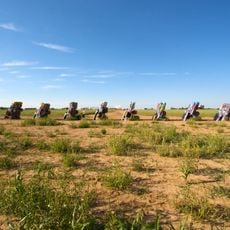
Cadillac Ranch
90.8 km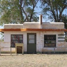
Glenrio
13.8 km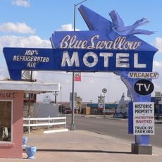
Blue Swallow Motel
68.6 km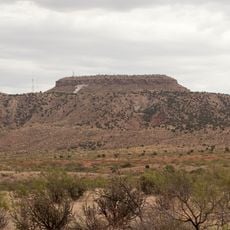
Tucumcari Mountain
66.4 km
Buffalo Lake National Wildlife Refuge
80.5 km
Hotel Clovis
77.4 km
Blackwater Draw archaeological site
93.7 km
Panhandle–Plains Historical Museum
96.8 km
Oasis State Park
96.6 km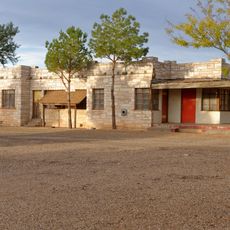
Cactus Motor Lodge
68.1 km
State Theater
77 km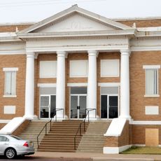
First Methodist Church of Clovis
73.2 km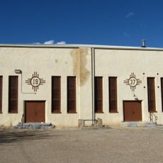
Amistad Gymnasium
96.1 km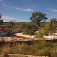
Metropolitan Park Bathhouse and Pool Historic District
75.8 km
Odeon Theatre
69.7 km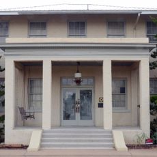
Clovis Baptist Hospital
76.8 km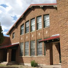
Nara Visa School
61.8 km
Baca-Goodman House
69.7 km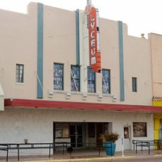
Lyceum Theatre
77.1 km
1908 Clovis City Hall and Fire Station
77.1 km
Curry County Courthouse
76.8 km
Arch Hurley Conservancy District Office Building
69.5 km
Clovis Central Fire Station
77.3 km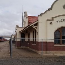
Tucumcari Railroad Museum
69.6 km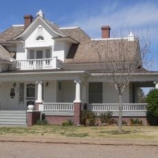
Deaf Smith County Historical Museum
59.4 km
Cannon Lanes
81.9 km
Princess Theatre
68.8 km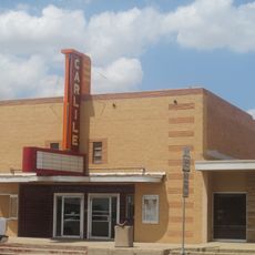
Carlile Theater
83.6 kmReviews
Visited this place? Tap the stars to rate it and share your experience / photos with the community! Try now! You can cancel it anytime.
Discover hidden gems everywhere you go!
From secret cafés to breathtaking viewpoints, skip the crowded tourist spots and find places that match your style. Our app makes it easy with voice search, smart filtering, route optimization, and insider tips from travelers worldwide. Download now for the complete mobile experience.

A unique approach to discovering new places❞
— Le Figaro
All the places worth exploring❞
— France Info
A tailor-made excursion in just a few clicks❞
— 20 Minutes