
Texas Point National Wildlife Refuge
Location: Jefferson County
Elevation above the sea: 1 m
Part of: McFaddin and Texas Point National Wildlife Refuges
Website: https://fws.gov/refuge/texas_point
GPS coordinates: 29.69639,-93.89611
Latest update: March 6, 2025 12:46

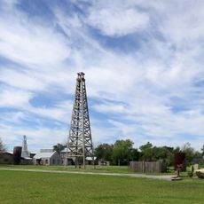
Spindletop
39.8 km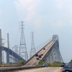
Rainbow Bridge
31.6 km
Ford Arena
44.5 km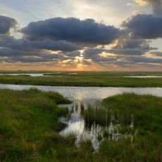
Sea Rim State Park
12.5 km
Provost Umphrey Stadium
42.1 km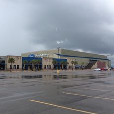
Ford Park
44.4 km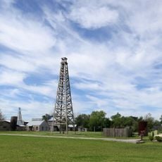
Spindletop-Gladys City Boomtown Museum
41.4 km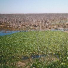
Sabine National Wildlife Refuge
41.7 km
Sabine Pass Light
5 km
McFaddin and Texas Point National Wildlife Refuges
24.8 km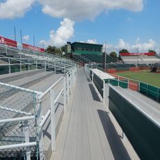
Vincent–Beck Stadium
41.4 km
Beaumont Botanical Gardens
43.7 km
Dishman Art Museum
42.6 km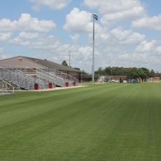
Lamar Soccer Complex
41.2 km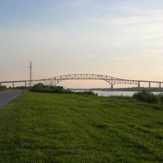
Martin Luther King Bridge
18.2 km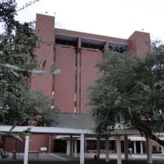
Mary and John Gray Library
42.2 km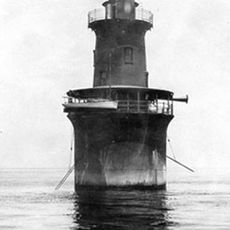
Sabine Bank Light
30 km
Idle Hours
45.8 km
Pompeiian Villa
20.9 km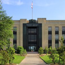
Orange County Courthouse
46.4 km
Rose Hill
21.6 km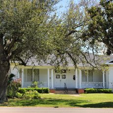
Port Arthur Federated Women's Clubhouse
20.8 km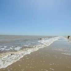
Holly Beach
44 km
Eddingston Court
22.3 km
Marconi Tower at Port Arthur College
20.6 km
Gates Memorial Library
20.5 km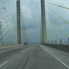
Veterans Memorial Bridge
31.7 km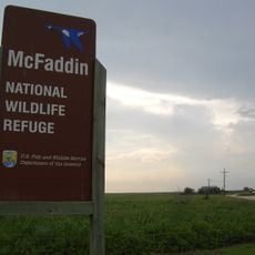
McFaddin National Wildlife Refuge
28.1 kmReviews
Visited this place? Tap the stars to rate it and share your experience / photos with the community! Try now! You can cancel it anytime.
Discover hidden gems everywhere you go!
From secret cafés to breathtaking viewpoints, skip the crowded tourist spots and find places that match your style. Our app makes it easy with voice search, smart filtering, route optimization, and insider tips from travelers worldwide. Download now for the complete mobile experience.

A unique approach to discovering new places❞
— Le Figaro
All the places worth exploring❞
— France Info
A tailor-made excursion in just a few clicks❞
— 20 Minutes