
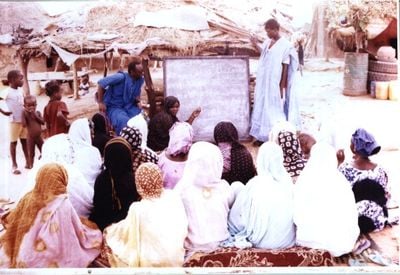
Maghama, commune of Mauritania
Location: Maghama Department
Location: Gorgol Region
GPS coordinates: 15.50889,-12.85000
Latest update: March 10, 2025 09:27

Great Mosque of Touba
331.9 km
Niokolo-Koba National Park
279.8 km
River Gambia National Park
308.2 km
MacCarthy Island
301.7 km
Gouina Falls
251.1 km
Bassari Country
324.6 km
Badiar National Park
325.9 km
Félou Falls
206.5 km
Talari Gorges
279.4 km
Cercles de pierres de Wassu
296.5 km
Deer Island (Gambia)
309.7 km
Isla Sepu
307.9 km
Tata of Koniakary
233.8 km
Isla Brikama
313 km
Bird Island
300.2 km
Eisenbahnbrücke von Kidira
135.7 km
Cercles de pierres de Kerbatch
311.5 km
Sankulay Kunda Bridge
302.3 km
Straßenbrücke von Kidira
136.2 km
Isla Pangon
301.1 km
Isla Pasari
240.9 km
Isla Ba Faraba
324.8 km
Mimang Island
310 km
Isla Njubou
330.6 km
Pappa Island
329.3 km
Little Pappa Island
331.4 km
Fort de Médine
203.2 km
Slave House
300.6 kmReviews
Visited this place? Tap the stars to rate it and share your experience / photos with the community! Try now! You can cancel it anytime.
Discover hidden gems everywhere you go!
From secret cafés to breathtaking viewpoints, skip the crowded tourist spots and find places that match your style. Our app makes it easy with voice search, smart filtering, route optimization, and insider tips from travelers worldwide. Download now for the complete mobile experience.

A unique approach to discovering new places❞
— Le Figaro
All the places worth exploring❞
— France Info
A tailor-made excursion in just a few clicks❞
— 20 Minutes