
Sar-i Tarkūn, Berggipfel im Irak
Location: Erbil Governorate
GPS coordinates: 37.14056,44.71694
Latest update: September 30, 2025 14:11
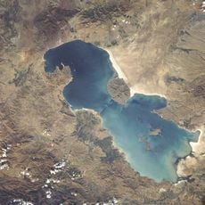
Urmia Lake
84.1 km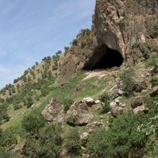
Shanidar Cave
56.6 km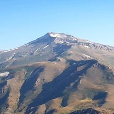
Cheekha Dar
44.4 km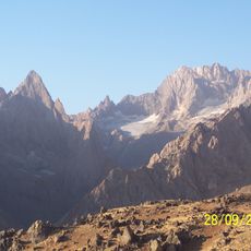
Cilo Dağı
73.9 km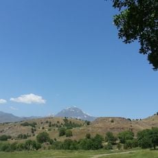
Hallgurd mountain
46.3 km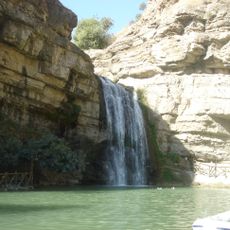
Geli Eli Beg Waterfall
61.6 km
Saint Mary Assyrian Church
54.6 km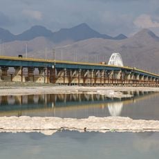
Urmia Lake Bridge
93 km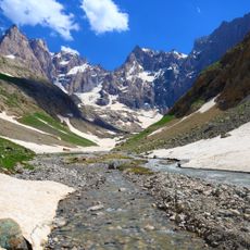
Uludoruk
73.8 km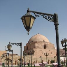
Jameh Mosque of Urmia
55.6 km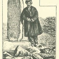
Kelashin Stele
33 km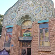
Sardar Mosque
55.3 km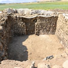
Qalatga Darband
105.8 km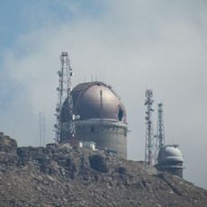
Erbil Observatory
65.9 km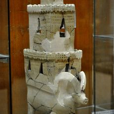
Tell Bazmusian
110.5 km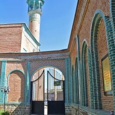
Menareh Mosque
55.4 km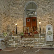
St. Sarkis Church
46.1 km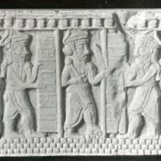
Geoy Tepe
56.6 km
St. Mary's Cathedral, Urmia
55.2 km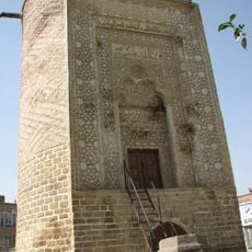
Seh Gonbad Tower
55 km
Chaldean Catholic Archeparchy of Urmia
53.6 km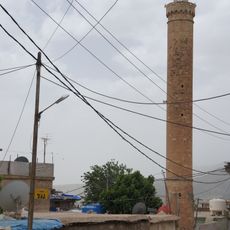
Great Mosque of Amadiya
109.2 km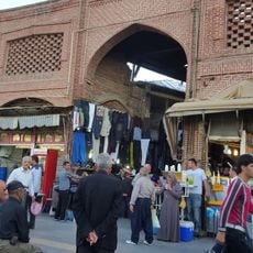
Urmia Bazaar
55.6 km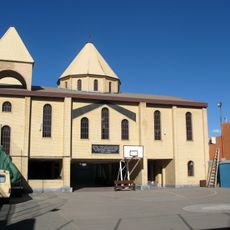
St. Stephanus
55.1 km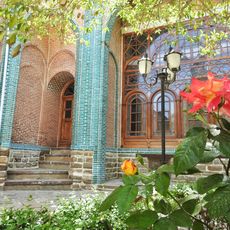
Hedayat Madrasa (Urmia)
55.4 km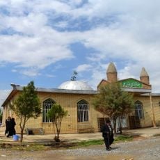
Imamzadeh Taj al-Din Ali
108.9 km
Harir rock-relief
72.1 km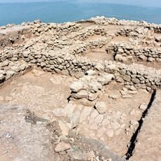
Usu Aska
106 kmReviews
Visited this place? Tap the stars to rate it and share your experience / photos with the community! Try now! You can cancel it anytime.
Discover hidden gems everywhere you go!
From secret cafés to breathtaking viewpoints, skip the crowded tourist spots and find places that match your style. Our app makes it easy with voice search, smart filtering, route optimization, and insider tips from travelers worldwide. Download now for the complete mobile experience.

A unique approach to discovering new places❞
— Le Figaro
All the places worth exploring❞
— France Info
A tailor-made excursion in just a few clicks❞
— 20 Minutes