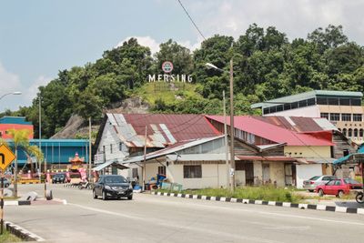
Mersing, human settlement in Malaysia
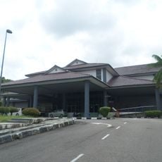
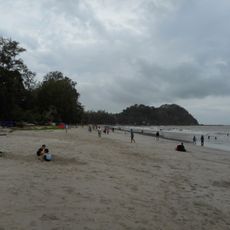
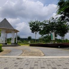
Mersing is a small town on the east coast of Malaysia in Johor that serves as a ferry gateway to nearby islands. The town has simple buildings, quiet streets, and an active harbor where boats shape daily life and activity.
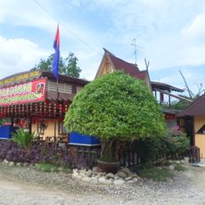
Mersing has a long history as a fishing port where generations have drawn their livelihood from the sea using traditional methods. The town grew slowly while becoming an important transit point for island journeys, preserving its quiet character throughout the process.
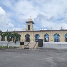
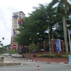
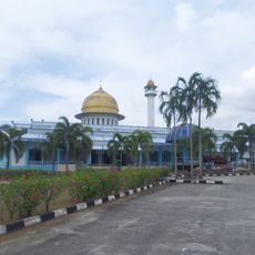
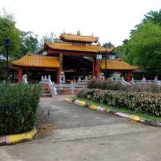
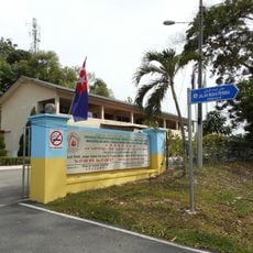
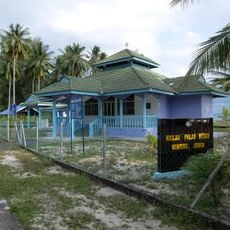
Mersing reflects a blend of Malay traditions and the influence of nearby trading routes, visible in the temples and daily practices of its residents. Visitors experience this cultural mix most clearly in the local market and around the mosques, where the community gathers regularly.
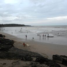
Mersing is easily reached by bus from Kuala Lumpur, Singapore, or other cities with the bus station located near the ferry terminal. Visitors can explore the town on foot or by bicycle, or rent a car from local agencies to reach more distant beaches.
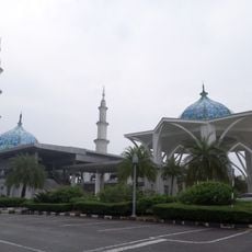
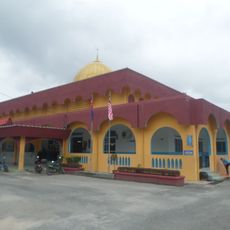
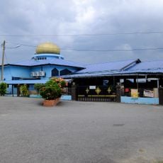
The Masjid Jamek Bandar Mersing sits on a small hill offering broad views of the town and sea, with gentle illumination at night that makes it a notable landmark. This visible religious center and the colorful temples nearby create an unexpected architectural focal point for such a small port town.
The community of curious travelers
AroundUs brings together thousands of curated places, local tips, and hidden gems, enriched daily by 60,000 contributors worldwide.