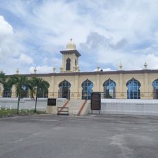
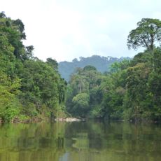
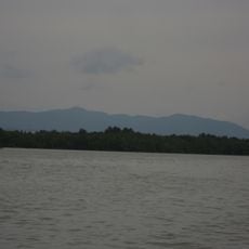
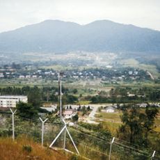
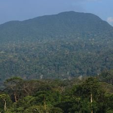
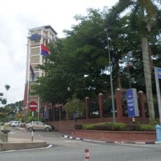
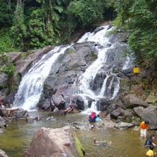
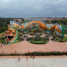
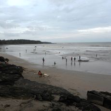
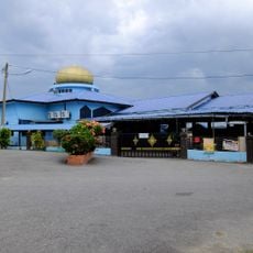
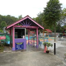
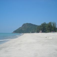
Mersing District, district in Johor, Malaysia
Location: Johor
Capital city: Mersing
GPS coordinates: 2.33333,103.66667
Latest update: March 16, 2025 18:26
Sultan Mahmud Mangkat Di Julang Mausoleum
72.4 km
Endau-Rompin National Park
45.3 km
Mount Pulai
82.6 km
Gunung Lambak
48.4 km
Mount Belumut
34.4 km
Kulai Municipal Council
74.6 km
Kota Tinggi Waterfalls
58.9 km
Fortune Dragon
73.9 km
Kota Tinggi Museum
71.8 km
Senai Airport Mosque
77.7 km
Hua Guo Shan 花果山
73.5 km
Kota Tinggi Town Mosque
70.7 km
Firefly Valley Leisure Park
75.3 km
Tanjung Leman Beach
43.5 km
Putuo Village
67.6 km
Spring Labs
83.6 km
Tiram Indoor Water Park
82.5 km
Kulai Municipal Council Town Forest
73.9 km
Sedili Kechil Beach
78.6 km
Handicapped and Mentally Disabled Children Association Johor Bahru
78.8 km
Kota Tinggi Firefly Park
72.8 km
Besar Island Mosque
36.5 km
Mersing Museum
22.2 km
Simpang Renggam Jamek Mosque
68.7 km
Mount Lambak Water Park
49.6 km
Air Papan Beach
27.8 km
Mersing Town Forest Park
22 km
Lam Lee Hall
73.8 kmReviews
Visited this place? Tap the stars to rate it and share your experience / photos with the community! Try now! You can cancel it anytime.
Discover hidden gems everywhere you go!
From secret cafés to breathtaking viewpoints, skip the crowded tourist spots and find places that match your style. Our app makes it easy with voice search, smart filtering, route optimization, and insider tips from travelers worldwide. Download now for the complete mobile experience.
A unique approach to discovering new places❞
— Le Figaro
All the places worth exploring❞
— France Info
A tailor-made excursion in just a few clicks❞
— 20 Minutes