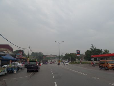
Ayer Hitam, human settlement in Malaysia
Location: Batu Pahat District
Shares border with: Kluang
GPS coordinates: 1.91833,103.17950
Latest update: March 27, 2025 21:36
Endau-Rompin National Park
58.9 km
Mount Pulai
53.9 km
Gunung Lambak
23.3 km
Mount Belumut
44.7 km
Kulai Municipal Council
54.5 km
Fortune Dragon
15.8 km
Bugis Museum
60.4 km
Pineapple Museum
54.6 km
Senai Airport Mosque
62.2 km
Sultan Ismail Jamek Mosque
26.8 km
Parit Sulong Bridge
33.4 km
Hua Guo Shan 花果山
44.9 km
Batu Pahat Well
35 km
Pekan Nanas Jamek Mosque
58.3 km
Pontian Town Mosque
52.9 km
Minyak Beku Beach
35.2 km
Putuo Village
54.1 km
Pontian Public Market
54.6 km
Handicapped and Mentally Disabled Children Association Johor Bahru
60 km
Kulai Municipal Council Town Forest
59.8 km
Tasik Y Recreational Park
28.3 km
Sultan Ismail Mosque
64.8 km
Bukit Kepong Emergency Gallery
61.5 km
Sultan Ibrahim Mosque
13 km
Haji Ahmad Shah Mosque
56.5 km
Pulai Indah Recreational Park
61.2 km
Simpang Renggam Jamek Mosque
17.7 km
Mount Lambak Water Park
21.9 kmReviews
Visited this place? Tap the stars to rate it and share your experience / photos with the community! Try now! You can cancel it anytime.
Discover hidden gems everywhere you go!
From secret cafés to breathtaking viewpoints, skip the crowded tourist spots and find places that match your style. Our app makes it easy with voice search, smart filtering, route optimization, and insider tips from travelers worldwide. Download now for the complete mobile experience.
A unique approach to discovering new places❞
— Le Figaro
All the places worth exploring❞
— France Info
A tailor-made excursion in just a few clicks❞
— 20 Minutes