Chest opened
+${chestReward.xp} XP
Explorer
NOUVEAU ×${chestReward.collectible.quantity}
tapez pour fermer
Chest locked

Open chests in the app

Around Us is built for your phone — chests unlock when you walk, explore and capture nearby places.

Enable Location

We need your location to show you interesting places around you

Discover nearby places

Find interesting locations and hidden gems around you

Precise directions

Get accurate directions and distances to places

Your location is never shared with other users. It's only used when you tap the location button.

Indonesia–Malaysia border

Log in to your account

Start exploring — it's free

Trusted by 72,936 travelers worldwide

Continue with Google
Continue with Apple
or

We will send you a code to connect

By continuing, you accept our Terms and Conditions and our Privacy Policy

Check your inbox

We've sent a pincode in your inbox. Please enter the code below.

Indonesia–Malaysia border
Discussion Reviews 2 Photos
78.7k Popularity

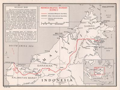
Indonesia–Malaysia border, International land and maritime boundary in Southeast Asia.

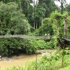
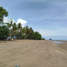
This boundary stretches for 2,000 kilometers through dense rainforest and open water, dividing Borneo between Indonesian Kalimantan and the Malaysian states of Sabah and Sarawak. The line follows watersheds and river courses for much of its length, while maritime sections cover four separate sea zones between Sumatra and Peninsular Malaysia.

Britain and the Netherlands established this boundary in 1891 to separate their respective colonial territories on Borneo. After independence, Malaysia and Indonesia confirmed the alignment through bilateral agreements during the 1960s and 1970s.

At official crossings, traders exchange fruit, textiles and household goods while families on both sides regularly visit relatives. The shared Malay language and Muslim majority make daily life easier for people living along the border region.

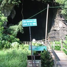
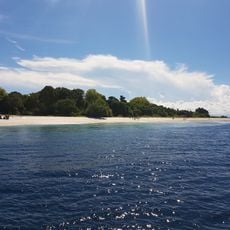
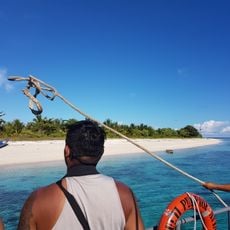
Three land crossings in West Kalimantan provide regular border controls for travelers moving between Malaysia and Indonesia. Ferry connections between Sumatra and Peninsular Malaysia operate mainly in the Strait of Malacca and take several hours for the crossing.

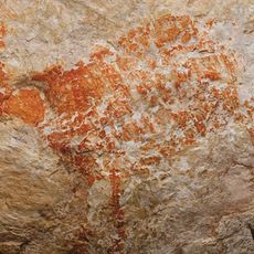
Along the Borneo line, simple numbered concrete posts mark the boundary through rainforest areas where few people live. Some of these markers stand deep in the forest and are mainly seen by border patrols and occasional hikers.

The community of curious travelers

AroundUs brings together thousands of curated places, local tips, and hidden gems, enriched daily by 60,000 contributors worldwide.

Start exploring
Part of
borders of Indonesia, borders of Malaysia
GPS coordinates
3.18278,119.46722
Latest update
December 13, 2025 16:47
Reviews
Share your experience

No review yet

Discussions
Start a discussion...

No discussion yet

« Indonesia–Malaysia border - International land and maritime boundary in Southeast Asia » is provided by Around Us (aroundus.com). Images and texts are derived from Wikimedia project under a Creative Commons license. You are allowed to copy, distribute, and modify copies of this page, under the conditions set by the license, as long as this note is clearly visible.

Discover hidden gems everywhere you go!

From secret cafés to breathtaking viewpoints, skip the crowded tourist spots and find places that match your style. Our app makes it easy with voice search, smart filtering, route optimization, and insider tips from travelers worldwide. Download now for the complete mobile experience.

Around Us App Screenshot

A unique approach to discovering new places

Le Figaro

All the places worth exploring

France Info

A tailor-made excursion in just a few clicks

20 Minutes

Around Us
Travel Guide & Maps
Download

Send to your phone

QR Code
1

Open the camera app on your mobile.

2

Point at the QR code with your camera. A notification will appear.

3

Tap the notification to open the link.