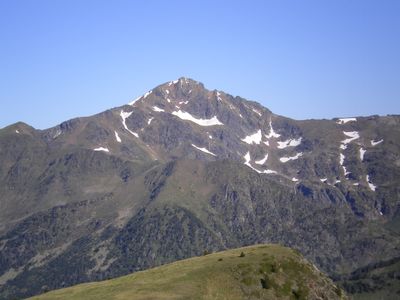
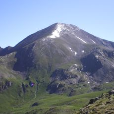
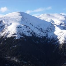
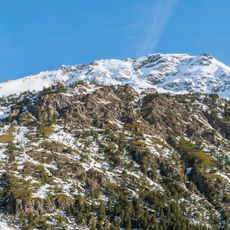
Pic de Font Blanca, Mountain summit at 2,903 meters on the French-Andorran border, Andorra.
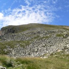
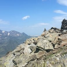
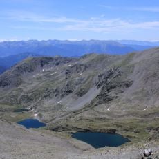
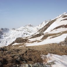
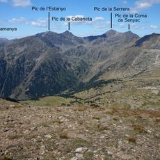
The Pic de Font Blanca, also called Pic du Port, is a Pyrenean summit on the French-Andorran border reaching 2,903 m. Its bedrock is migmatite, and its pyramidal form rises where ridges meet around glacial cirques. It stands between the Ariège Pyrenees regional nature park and the Sorteny nature park, above the Siguer valley and the El Serrat valley.
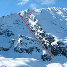
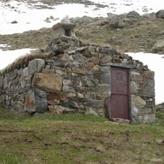
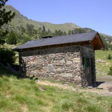
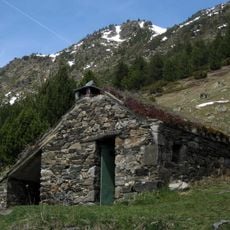
Henry Russell documented his ascent of this summit in 1864, passing through El Serrat and using shepherd cabins above the Port de Siguer, describing the descent as one of the longest and most difficult in the Pyrenees.
The name is Catalan: pic is a pointed summit, as opposed to the rounded tossa and bony of Andorran toponymy; font comes from Latin fons, "source", and blanca from low Latin blancus, "white". The summit is also called pic du Port in French and de Rialb in Catalan, after the riu de Rialb that rises on its south-east slope.
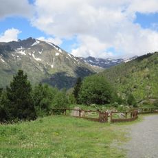
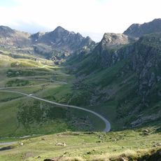
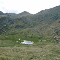
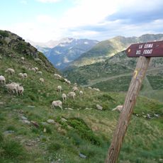
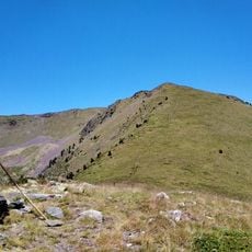
Only hiking routes reach the summit. From Andorra, the path starts at Pleta del Castellar on the Ordino Arcalís road, passes Comís Vell and the coma de Varilles, and climbs to the top via the Portella de Rialb, a gain of nearly 1,000 m. The French approach from Étang du Rouch is off-trail, long and hard, and should be attempted only in good weather.
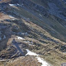
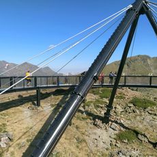
A 1.4-meter tall metal sculpture representing an estripagecs was installed at the summit in 2017, commemorating local artistic traditions and matching similar installations on other peaks in Ordino parish.
The community of curious travelers
AroundUs brings together thousands of curated places, local tips, and hidden gems, enriched daily by 94,193 contributors worldwide.