Enable Location

We need your location to show you interesting places around you

Discover nearby places

Find interesting locations and hidden gems around you

Precise directions

Get accurate directions and distances to places

Your location is never shared with other users. It's only used when you tap the location button.

Pic de Font Blanca

Log in to your account

Start exploring — it's free

Trusted by 63,009 travelers worldwide

Continue with Google
Continue with Apple
or

We will send you a code to connect

By continuing, you accept our Terms and Conditions and our Privacy Policy

Check your inbox

We've sent a pincode in your inbox. Please enter the code below.

Pic de Font Blanca
Discussion Reviews 1 Photos
900+ Popularity

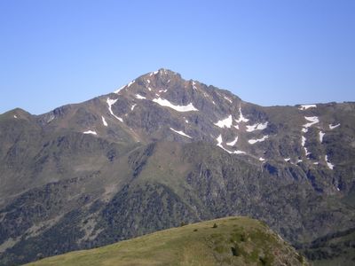
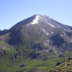
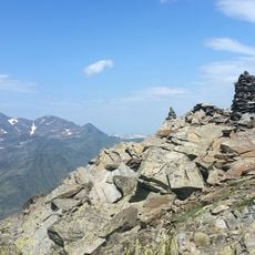
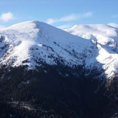
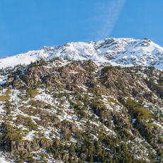
Pic de Font Blanca, Mountain summit at 2,903 meters on the French-Andorran border, Andorra.

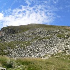
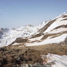
The Pic de Font Blanca rises to 2,903 meters altitude in the Pyrenees mountain range, marking the border between France and Andorra with its distinctive pyramidal rock formation composed of migmatite metamorphic stone.

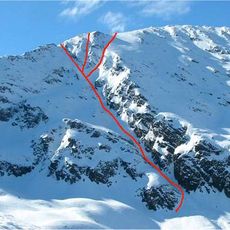
Henry Russell documented his ascent of this summit in 1864, passing through El Serrat and using shepherd cabins above the Port de Siguer, describing the descent as one of the longest and most difficult in the Pyrenees.

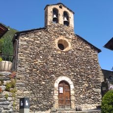
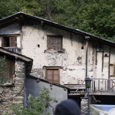
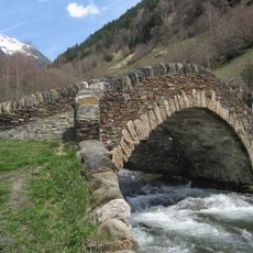
The summit name derives from Catalan meaning 'white source', reflecting the local linguistic heritage that blends Catalan and Occitan influences throughout the border region between France and Andorra.

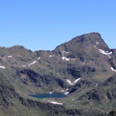
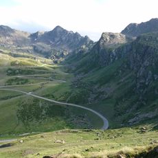
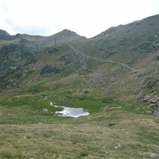
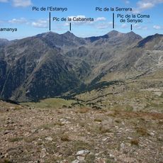
Access requires hiking from either the French side via Étang du Rouch or the Andorran route starting from Pleta del Castellar, with both paths demanding several hours of mountain walking across challenging terrain.

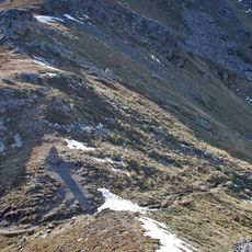
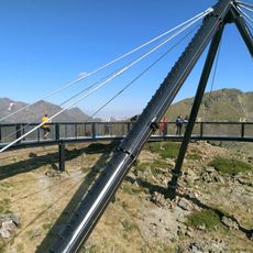
A 1.4-meter tall metal sculpture representing an estripagecs was installed at the summit in 2017, commemorating local artistic traditions and matching similar installations on other peaks in Ordino parish.

The community of curious travelers

AroundUs brings together thousands of curated places, local tips, and hidden gems, enriched daily by 60,000 contributors worldwide.

Start exploring
GPS coordinates
42.64969,1.53434
Latest update
July 24, 2025 10:53
Reviews
Share your experience

No review yet

Discussions
Start a discussion...

No discussion yet

« Pic de Font Blanca - Mountain summit at 2,903 meters on the French-Andorran border, Andorra » is provided by Around Us (aroundus.com). Images and texts are derived from Wikimedia project under a Creative Commons license. You are allowed to copy, distribute, and modify copies of this page, under the conditions set by the license, as long as this note is clearly visible.

Discover hidden gems everywhere you go!

From secret cafés to breathtaking viewpoints, skip the crowded tourist spots and find places that match your style. Our app makes it easy with voice search, smart filtering, route optimization, and insider tips from travelers worldwide. Download now for the complete mobile experience.

Around Us App Screenshot

A unique approach to discovering new places

Le Figaro

All the places worth exploring

France Info

A tailor-made excursion in just a few clicks

20 Minutes

Around Us
Travel Guide & Maps
Download

Send to your phone

QR Code
1

Open the camera app on your mobile.

2

Point at the QR code with your camera. A notification will appear.

3

Tap the notification to open the link.