Pique d'Endron, Mountain summit in Ariège, France
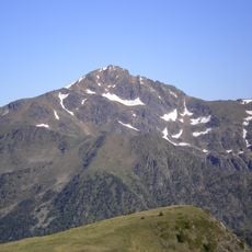
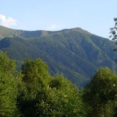
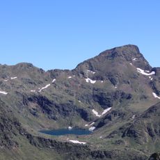
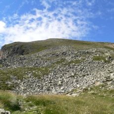
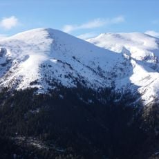
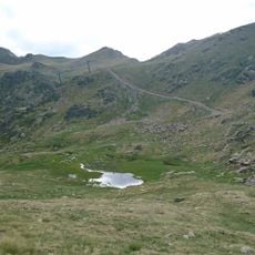
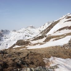
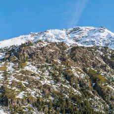
Pique d'Endron is a summit in the Pyrenees located in Ariège, standing at 2,472 meters in elevation. The peak rises 152 meters above the surrounding terrain and commands views across the mountain range in all directions.
In the 19th century the peak was little known; the 1890 Dictionnaire géographique et administratif de la France described a tangle of confused mountains crossed mainly by hunters and smugglers. During the glaciations its north flank fed a glacier that split below the Risoul cliff into two tongues joining the Vicdessos glacier, which reached over 500 metres thick. The summit lies entirely within the Pyrenees Ariégeoises regional nature park, created in 2009.
The name comes from Occitan: "pique" is the feminine form of "pic", and "Endron" derives from "androun", meaning cul-de-sac or hiding place, because the mule track from Lercoul ends in a dead end on the north flank. The summit lies in the Parc naturel régional des Pyrénées ariégeoises, created in 2009.
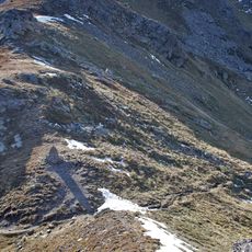
The hiking route starts at the small Goulier Neige ski area at 1,480 m, climbs a grassy shoulder and then follows the sometimes steep ridge line to the summit; allow about 4 h 30 round trip for 1,000 m of ascent. An alternative approach leaves the col de Grail and follows the crête de la Calvière south past a van wreck to the pic du Garbier de Brésoul (2,047 m). The north face couloir, the Créneau d'Endron, is a PDsup snow and ice climb graded 40–50°.
The north face is cut by the Créneau d'Endron, a 485 m snow-and-ice couloir graded PDsup with slopes of 40° to 50°. Its last third splits into three exits: 40° on the left, 45° on the right and the direct 50° line in the centre. The descent follows the ordinary route's ridge.
The community of curious travelers
AroundUs brings together thousands of curated places, local tips, and hidden gems, enriched daily by 92,787 contributors worldwide.