Enable Location

We need your location to show you interesting places around you

Discover nearby places

Find interesting locations and hidden gems around you

Precise directions

Get accurate directions and distances to places

Your location is never shared with other users. It's only used when you tap the location button.

La Calbe

Log in to your account

Start exploring — it's free

Trusted by 62,397 travelers worldwide

Continue with Google
Continue with Apple
or

We will send you a code to connect

By continuing, you accept our Terms and Conditions and our Privacy Policy

Check your inbox

We've sent a pincode in your inbox. Please enter the code below.

La Calbe

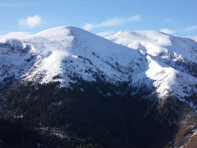
La Calbe, Mountain summit in Ariège Pyrenees, France.

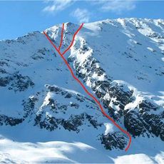
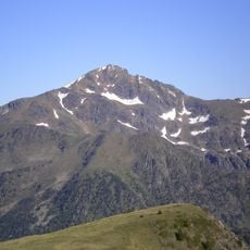
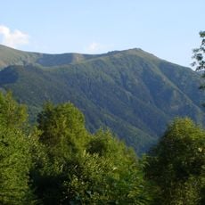
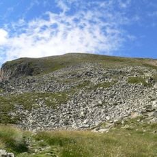
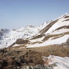
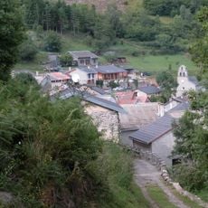
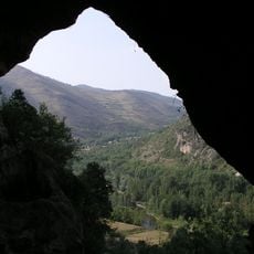
La Calbe is a mountain summit in the Ariège Pyrenees at 2,185 meters within a regional nature park. The peak offers views across the Siguer Valley, and grassy slopes with marked hiking paths descend toward nearby villages.

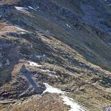
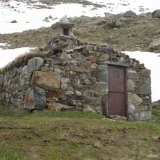
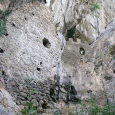
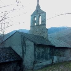
For centuries, shepherds used this summit as a lookout point to watch over their flocks, with remnants of an old shelter still visible at the top. This long pastoral history has shaped the landscape and left marks that remain visible today.

Local shepherds keep the ancient practice of moving herds to high pastures alive during summer months. This seasonal movement shapes how people live with and use the mountain landscape year after year.

Good hiking boots and physical stamina are needed to follow the marked trails from the village of Gestiès to the summit. The climb takes several hours, so bring water and snacks, and plan your visit with enough daylight hours remaining.

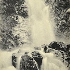
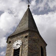
The Fount Cendrasse torrent flows at the mountain's base, near a former spring that once supplied water to surrounding villages. This hidden water supply story reveals how people have depended on these slopes for generations.

The community of curious travelers

AroundUs brings together thousands of curated places, local tips, and hidden gems, enriched daily by 60,000 contributors worldwide.

Start exploring
GPS coordinates
42.72271,1.59340
Latest update
December 14, 2025 20:23
« La Calbe - Mountain summit in Ariège Pyrenees, France » is provided by Around Us (aroundus.com). Images and texts are derived from Wikimedia project under a Creative Commons license. You are allowed to copy, distribute, and modify copies of this page, under the conditions set by the license, as long as this note is clearly visible.

Discover hidden gems everywhere you go!

From secret cafés to breathtaking viewpoints, skip the crowded tourist spots and find places that match your style. Our app makes it easy with voice search, smart filtering, route optimization, and insider tips from travelers worldwide. Download now for the complete mobile experience.

Around Us App Screenshot

A unique approach to discovering new places

Le Figaro

All the places worth exploring

France Info

A tailor-made excursion in just a few clicks

20 Minutes

Around Us
Travel Guide & Maps
Download

Send to your phone

QR Code
1

Open the camera app on your mobile.

2

Point at the QR code with your camera. A notification will appear.

3

Tap the notification to open the link.