Pic du Midi de Siguer, Mountain summit in Ariège, France
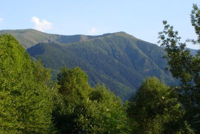
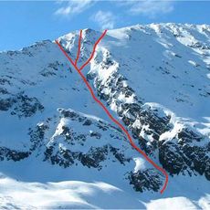
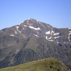
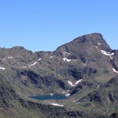
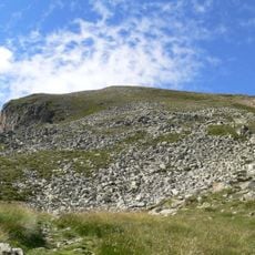
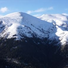
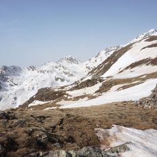
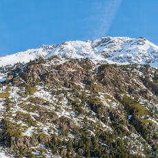
The Pic du Midi de Siguer is a 2003-meter summit in the French Pyrenees with siliceous rock formations throughout. The mountain rises between the communes of Siguer and Gestiès and shapes the landscape with its distinctive stone structures.
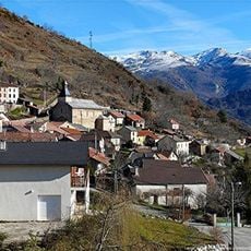
The mountain historically served as a natural boundary marker between the communes of Siguer and Gestiès. This geographic role shaped the territorial identity of the Ariège region through time.
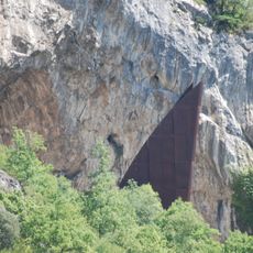
The summit sits within the Regional Natural Park of Ariège Pyrenees and reflects the geological variety of the French Pyrenean mountains. Visitors can observe the different rock formations that shape the landscape of this region.
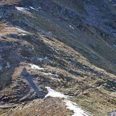
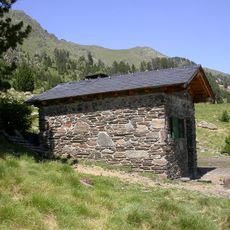
The mountain is accessible via a loop trail of about 19 kilometers from Gestiès, taking roughly six hours with about 1347 meters of elevation gain. Sturdy footwear and plenty of water are essential as the route includes steep sections with rocky terrain.
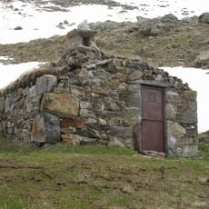
The summit connects through the Siguer pass at 2395 meters to the GR65 long-distance trail leading into Andorra. This link makes the peak a key junction point for hikers exploring cross-border Pyrenean routes.
The community of curious travelers
AroundUs brings together thousands of curated places, local tips, and hidden gems, enriched daily by 60,000 contributors worldwide.