Enable Location

We need your location to show you interesting places around you

Discover nearby places

Find interesting locations and hidden gems around you

Precise directions

Get accurate directions and distances to places

Your location is never shared with other users. It's only used when you tap the location button.

Pic des Redouneilles

Log in to your account

Start exploring — it's free

Trusted by 61,658 travelers worldwide

Continue with Google
Continue with Apple
or

We will send you a code to connect

By continuing, you accept our Terms and Conditions and our Privacy Policy

Check your inbox

We've sent a pincode in your inbox. Please enter the code below.

Pic des Redouneilles

Pic des Redouneilles, Mountain summit in Ariège, France.

Description

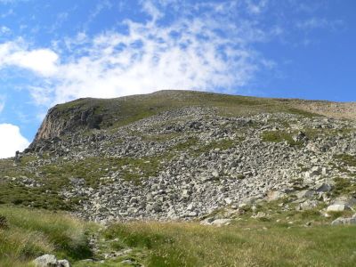
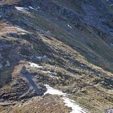
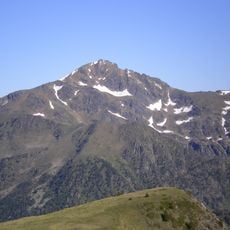
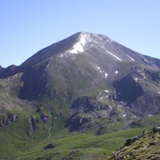
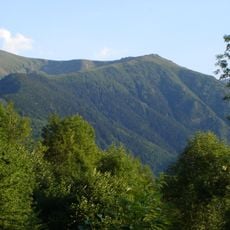
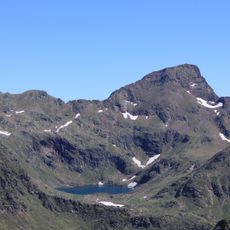
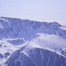
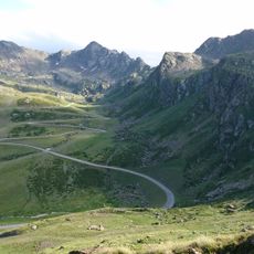
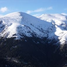
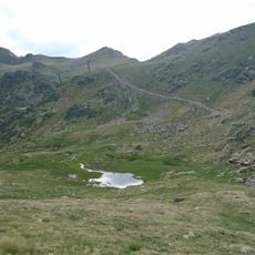
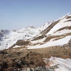
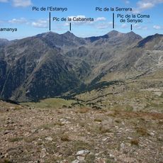
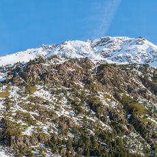
The Pic des Redouneilles rises to 2,485 meters in the French Pyrenees, featuring a wide westward-sloping plateau that offers panoramic views over glacial lakes and surrounding peaks including Pic de Saint-Barthélemy and Pic du Pas de Chien.

History

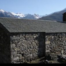
This Pyrenean summit served as a strategic refuge area during World War II when French resistance fighters and civilians fleeing Nazi occupation used the difficult terrain and remote location to hide and organize clandestine activities.

Culture

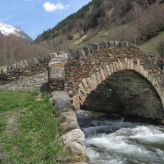
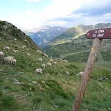
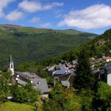
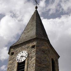
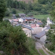
The region around Pic des Redouneilles maintains traditional pastoral culture with local shepherds practicing transhumance, moving livestock between seasonal grazing areas while preserving ancient customs passed down through generations of mountain communities.

Practical

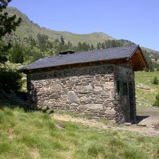
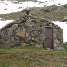
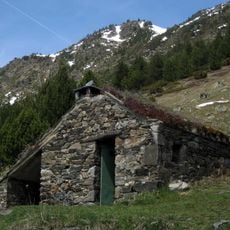
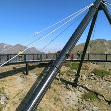
Hikers can reach the summit via a marked trail starting from Bouychet parking area, following a challenging 6.5-hour route with 1,550 meters of elevation gain that passes several glacial lakes and requires proper mountain equipment.

Did you know?

The summit features no pointed peak but instead presents a distinctive inclined plateau where visitors can observe protected species like the Golden Eagle, Pyrenean Desman, and Alpine Ptarmigan in their natural habitat.

Location
Elevation above the sea
2,485 m
GPS coordinates
42.68857,1.54692
Latest update
July 24, 2025 12:47

AroundUs brings together thousands of curated places, local tips, and hidden gems, enriched daily by 60,000 contributors worldwide. Discover all places nearby (Ariège).

« Pic des Redouneilles - Mountain summit in Ariège, France » is provided by Around Us (aroundus.com). Images and texts are derived from Wikimedia project under a Creative Commons license. You are allowed to copy, distribute, and modify copies of this page, under the conditions set by the license, as long as this note is clearly visible.

Discover hidden gems everywhere you go!

From secret cafés to breathtaking viewpoints, skip the crowded tourist spots and find places that match your style. Our app makes it easy with voice search, smart filtering, route optimization, and insider tips from travelers worldwide. Download now for the complete mobile experience.

Around Us App Screenshot

A unique approach to discovering new places

Le Figaro

All the places worth exploring

France Info

A tailor-made excursion in just a few clicks

20 Minutes

Around Us
Travel Guide & Maps
Download

Send to your phone

QR Code
1

Open the camera app on your mobile.

2

Point at the QR code with your camera. A notification will appear.

3

Tap the notification to open the link.