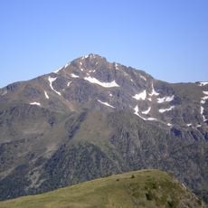
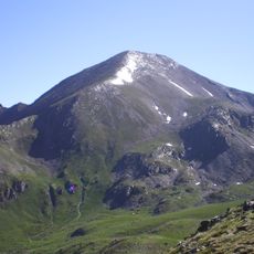
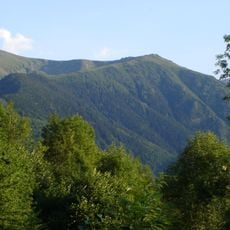
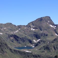
Pic de Baljésou, Mountain summit in Ariège, France
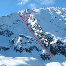
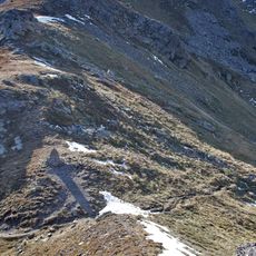
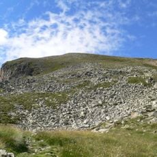
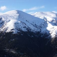
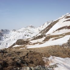
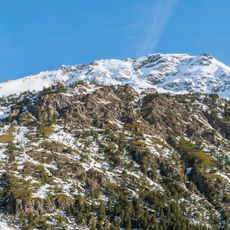
Pic de Baljésou is a rounded summit at 2,288 m on the communes of Siguer and Gestiès in Ariège, overlooking the Siguer valley and the Brouquenat pond. It lies at the meeting point of the combes of the jasse de Peyriguels and of Larnoum, within the Pyrenees Ariégeoises regional natural park. A large cairn stands on top, with three more along the path crossing the peak to the north-west; on the north slope are a captured spring and two small basins.
The summit lies on the boundary of Siguer and Gestiès and overlooks the Siguer valley. Its regular grassy slope, called a couchade, has long served herds transhuming in the area, and the paths crossing the peak follow these pastoral routes. A large cairn stands on top, with three more along the northwest path.
The peak lies on the summer pasture route between Siguer and Gestiès: flocks still transhume through the sector, and the summit itself is a regular couchade, a resting layer for the herds. The toponym Baljésou, also written Baljése, belongs to the Occitan place names of the Ariège Pyrenees.
The main route to the summit starts from the Bouychet parking area and follows clearly marked trails that gain elevation steadily. Plan for a full day of walking and bring sturdy footwear and water, as the terrain becomes increasingly exposed at higher elevations.
A large cairn, called an "homme" locally, stands on the summit, and three more line the path that crosses the peak to the northwest. On the north slope there is a captured spring and two small basins.
The community of curious travelers
AroundUs brings together thousands of curated places, local tips, and hidden gems, enriched daily by 94,292 contributors worldwide.