Enable Location

We need your location to show you interesting places around you

Discover nearby places

Find interesting locations and hidden gems around you

Precise directions

Get accurate directions and distances to places

Your location is never shared with other users. It's only used when you tap the location button.

Nangarhar Province

Log in to your account

Start exploring — it's free

Trusted by 61,979 travelers worldwide

Continue with Google
Continue with Apple
or

We will send you a code to connect

By continuing, you accept our Terms and Conditions and our Privacy Policy

Check your inbox

We've sent a pincode in your inbox. Please enter the code below.

Nangarhar Province

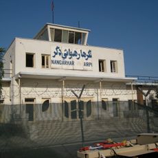
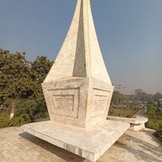
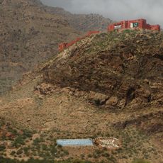
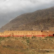
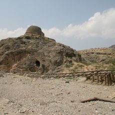
Nangarhar Province, Eastern province in Afghanistan

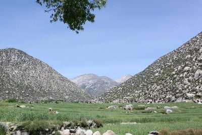
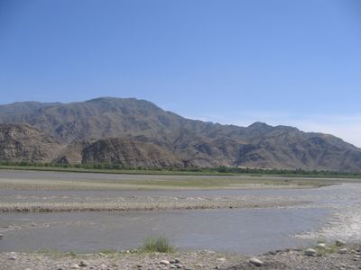
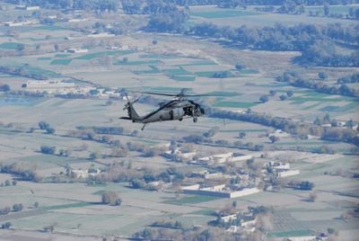
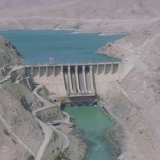
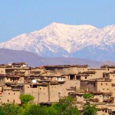
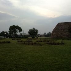
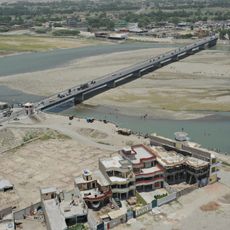
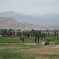
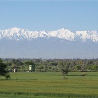
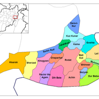
Nangarhar is a province in eastern Afghanistan bordering Pakistan, combining two landscape types: mountain ranges in the south and flat farmland around the capital Jalalabad. The province includes 22 districts and is crossed by rivers that often carry water during winter.

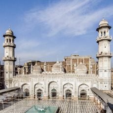
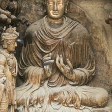
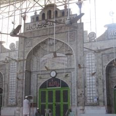
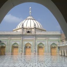
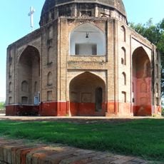
Buddhist and Hindu kingdoms ruled here for centuries until Muslim conquerors took over the region during medieval times. Ahmad Shah Durrani united the area with his newly founded Afghan empire in 1747.

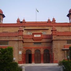
The name comes from a Persian term for nine rivers flowing through the valleys. Many residents speak Pashto and maintain old tribal connections that remain visible in daily life.

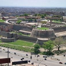
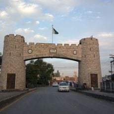
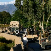
The main road to Pakistan runs through the province and connects Kabul with the border crossing at Torkham. Travelers should check current conditions, as security and access can vary.

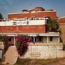
The plain around Jalalabad allows cultivation of citrus fruits, peanuts and dates, which does not work in higher Afghan provinces. The milder climate also draws visitors from colder parts of the country during winter.

The community of curious travelers

AroundUs brings together thousands of curated places, local tips, and hidden gems, enriched daily by 60,000 contributors worldwide.

Start exploring
Location
Capital city
Jalalabad
Elevation above the sea
748 m
Shares border with
Laghman Province, Khyber Pakhtunkhwa, Kabul Province
GPS coordinates
34.25000,70.50000
Latest update
December 13, 2025 18:02
« Nangarhar Province - Eastern province in Afghanistan » is provided by Around Us (aroundus.com). Images and texts are derived from Wikimedia project under a Creative Commons license. You are allowed to copy, distribute, and modify copies of this page, under the conditions set by the license, as long as this note is clearly visible.

Discover hidden gems everywhere you go!

From secret cafés to breathtaking viewpoints, skip the crowded tourist spots and find places that match your style. Our app makes it easy with voice search, smart filtering, route optimization, and insider tips from travelers worldwide. Download now for the complete mobile experience.

Around Us App Screenshot

A unique approach to discovering new places

Le Figaro

All the places worth exploring

France Info

A tailor-made excursion in just a few clicks

20 Minutes

Around Us
Travel Guide & Maps
Download

Send to your phone

QR Code
1

Open the camera app on your mobile.

2

Point at the QR code with your camera. A notification will appear.

3

Tap the notification to open the link.