20th meridian east, meridian
The 20th meridian east is an invisible line of longitude running from the North Pole to the South Pole. It passes through multiple countries and regions across Europe, Africa, and Antarctica, serving as a reference point for mapping and navigation.
Meridians were created to divide the Earth into a grid system and determine exact positions. The 20th meridian east became part of this global system that has long helped navigators and cartographers measure and understand the planet.
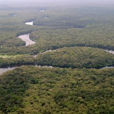
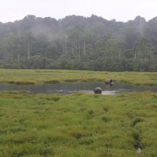
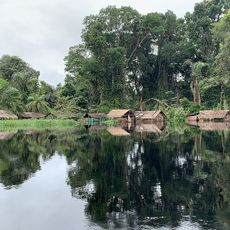
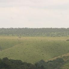
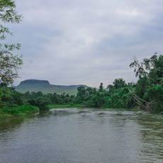
The line passes invisibly through regions where people live in different ways and keep their local traditions alive. In the northern areas, communities rely on fishing and forestry, while further south in Africa, settlements maintain their own customs and connection to the land.
Traveling along this line means moving through very different climate zones and landscapes as you go south. In northern regions, expect cold weather and forests, while southern areas have drier conditions and warmer temperatures.
This line connects with the 160th meridian west to form a great circle around the Earth that helps navigators find the shortest routes between two points. It is a simple but powerful concept that has been important for ships and aircraft for centuries.
The community of curious travelers
AroundUs brings together thousands of curated places, local tips, and hidden gems, enriched daily by 60,000 contributors worldwide.