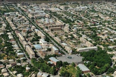
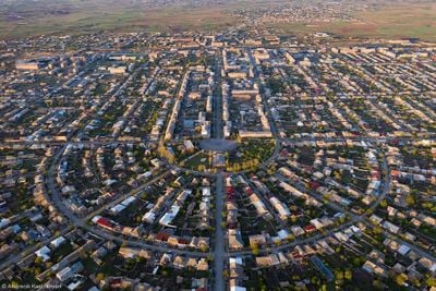
Armavir, Regional capital in Armavir Province, Armenia.
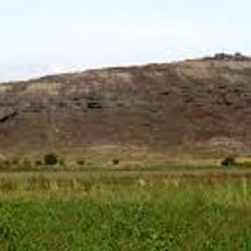
Armavir is situated on the Ararat plain between Mount Ararat and Mount Aragats at an elevation of 870 meters (2,850 feet). The city functions as a regional administrative center with residential neighborhoods, commercial areas, and public facilities that serve the local population.
The city was established in 1931 as Sardarapat and renamed Hoktemberyan in 1935, then received its current name Armavir in 1995. These name changes reflect significant shifts in Armenia's political and social landscape over the decades.
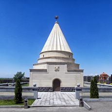
The city hosts educational facilities and a cultural center that serve as gathering places for residents and support local performances and community events.
The railway station serves as a key transportation hub with regular train connections to Yerevan and northern regions of the country. The city offers basic accommodation and dining options through several hotels and local restaurants.
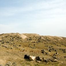
Archaeological finds in the surrounding area reveal human settlements dating to the 6th millennium BC, with obsidian tools and pottery uncovered there. These ancient traces demonstrate the region's deep historical roots and long story of habitation.
The community of curious travelers
AroundUs brings together thousands of curated places, local tips, and hidden gems, enriched daily by 60,000 contributors worldwide.