
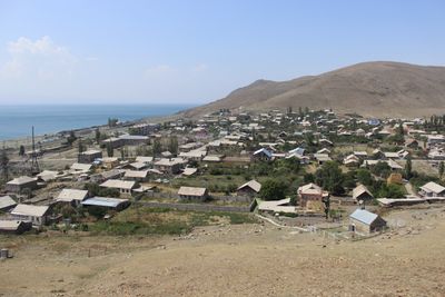
Shoghakat, village in Gegharkunik Province of Armenia
Location: Gegharkunik Province
Elevation above the sea: 1,915 m
GPS coordinates: 40.50306,45.27028
Latest update: March 3, 2025 21:54
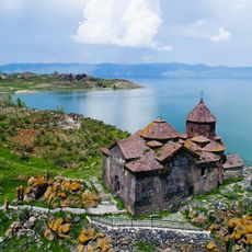
Hayravank Monastery
15.9 km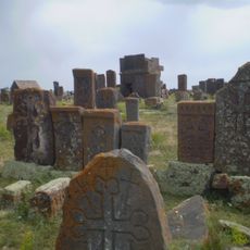
Noratus cemetery
16.2 km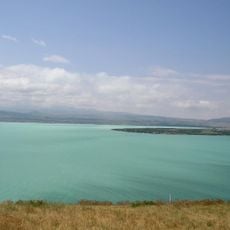
Sevan National Park
18.3 km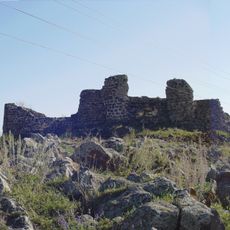
Berdkunk Fortress
14.9 km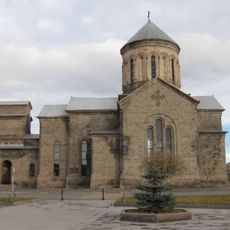
Surb Astvatsatsin Church
20.7 km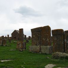
Saint Gregory the Illuminator Church
16.8 km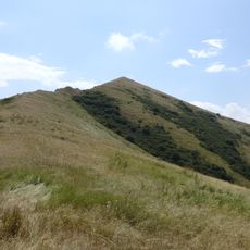
Artanish Mountain
4.2 km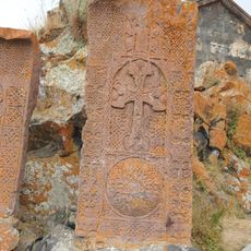
Akob Aghi khachkar
15.8 km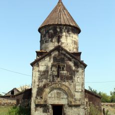
Dopunc Monastery
16.7 km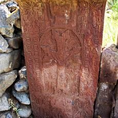
Խաչքար Ովանես իրիցի
20.5 km
Berdkunk Fortress
14.9 km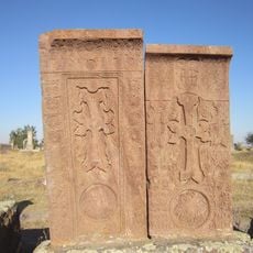
Paron Astvatzatur khatchkar
20.5 km
Խաչքար Գոհարի
20.5 km
Խաչքար Շահնազարի
20.5 km
Хачкар
22.6 km
Хачкар
20.5 km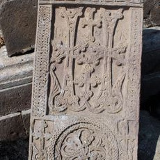
Խաչքար Շաղուպաթ աղի
20.5 km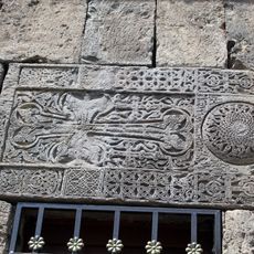
Խաչքար Ատիպէկի
22.6 km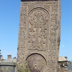
Խաչքար Ստեփանոսի և Պետրոսի
20.5 km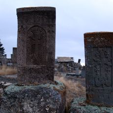
Դարի գլուխ
19 km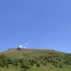
Kenatsblur
18.1 km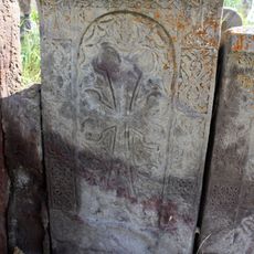
Խաչքար Գրիգոր աբեղայի
20.5 km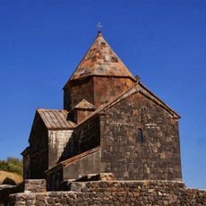
Surp Arakelots
23 km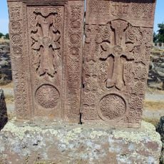
Խաչքար Թաճումի
20.5 km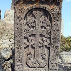
Խաչքար Ստեփանոս եպիսկոպոսի
20.5 km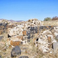
Saint Harutyun church of Sevanavank
22.9 km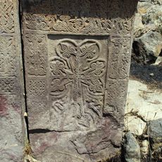
Խաչքար Եղիս աբեղայի
20.5 km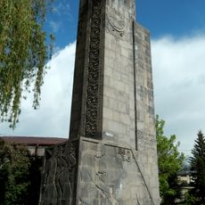
Memorial to the victims of WW2
20.7 kmReviews
Visited this place? Tap the stars to rate it and share your experience / photos with the community! Try now! You can cancel it anytime.
Discover hidden gems everywhere you go!
From secret cafés to breathtaking viewpoints, skip the crowded tourist spots and find places that match your style. Our app makes it easy with voice search, smart filtering, route optimization, and insider tips from travelers worldwide. Download now for the complete mobile experience.

A unique approach to discovering new places❞
— Le Figaro
All the places worth exploring❞
— France Info
A tailor-made excursion in just a few clicks❞
— 20 Minutes