
Zorakert, village in Shirak Province of Armenia
Location: Shirak Province
Elevation above the sea: 2,030 m
GPS coordinates: 41.09278,43.65972
Latest update: March 22, 2025 20:08
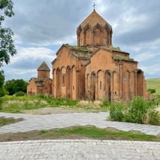
Marmashen monastery
29 km
Lake Arpi
3.8 km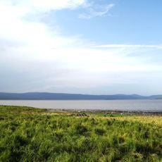
Lake Arpi National Park
4.5 km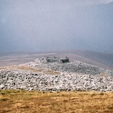
Abuli fortress
31.2 km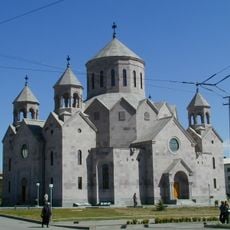
St Hakob Church, Gyumri
32.6 km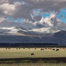
Javakheti National Park
27.9 km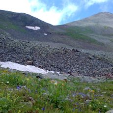
Achqasar
26.1 km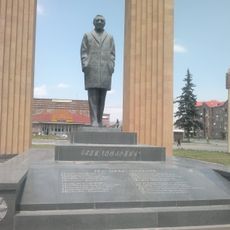
Charles Aznavour Statue
35.7 km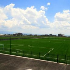
Gyumri Football Academy
34.2 km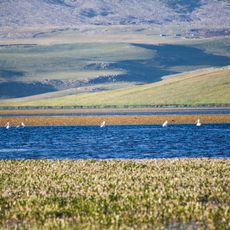
Madatapa Managed Reserve
14.1 km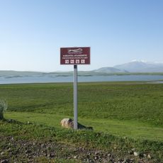
Khanchali Managed Reserve
20.5 km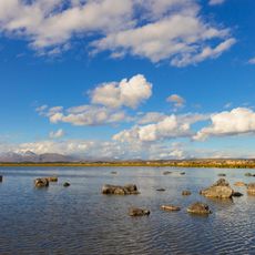
Bugdasheni Managed Reserve
12.2 km
Sulda Managed Reserve
34 km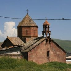
Սուրբ Կարապետ եկեղեցի (Գանձա)
29.7 km
Armenia
27.7 km
Kartsakhi Managed Reserve
35.1 km
Ashough Jivani's House-Museum
36.1 km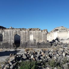
Saint Hakob Church
32.8 km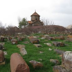
Tiravor church graveyard
31.3 km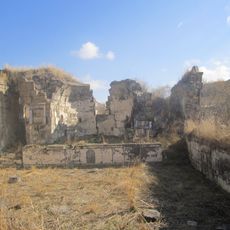
Kaqavasar Karmravor church
35.7 km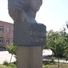
Շ. Կուրղինյանին հուշարձան
35.5 km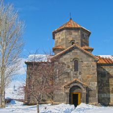
Tiravor Church
31.3 km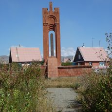
World War II memorial in Vahramaberd
28.1 km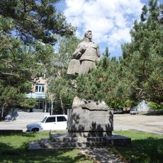
Ghukas Ghukasyan memorial
18.2 km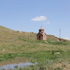
Church in Yeghnajur
6.8 km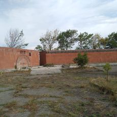
Հուշարձան Երկրորդ աշխարհամարտում զոհվածներին
31.2 km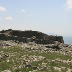
Abuli Fortress
31.3 km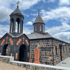
Եկեղեցի
27.3 kmReviews
Visited this place? Tap the stars to rate it and share your experience / photos with the community! Try now! You can cancel it anytime.
Discover hidden gems everywhere you go!
From secret cafés to breathtaking viewpoints, skip the crowded tourist spots and find places that match your style. Our app makes it easy with voice search, smart filtering, route optimization, and insider tips from travelers worldwide. Download now for the complete mobile experience.

A unique approach to discovering new places❞
— Le Figaro
All the places worth exploring❞
— France Info
A tailor-made excursion in just a few clicks❞
— 20 Minutes