
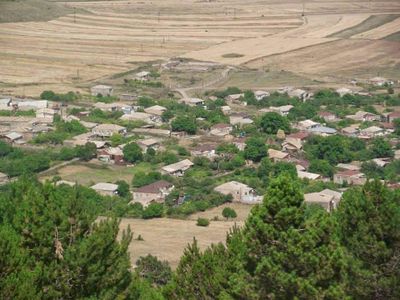
Harzhis, village in Syunik Province of Armenia
Location: Syunik Province
Elevation above the sea: 1,730 m
GPS coordinates: 39.43333,46.22167
Latest update: March 3, 2025 03:00
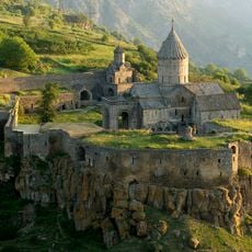
Tatev monastery
6.5 km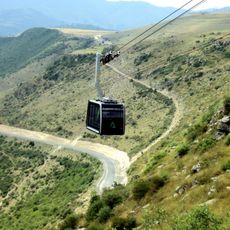
Wings of Tatev
6.7 km
Satani bridge
5.1 km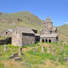
Vorotnavank
11.1 km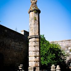
Gavazan in Tatev
6.5 km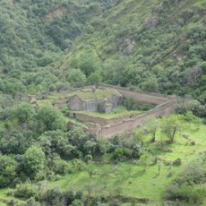
Tatevi Anapat
6.1 km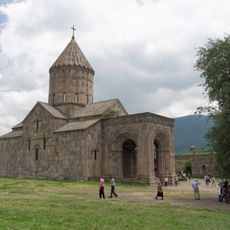
Tatev
6.4 km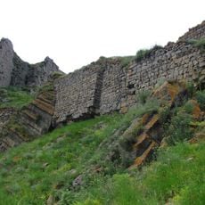
Vorotnaberd
11 km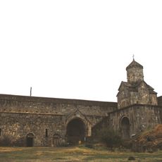
Սուրբ Աստվածածին եկեղեցի (Տաթևի վանք)
6.4 km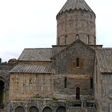
Saint Gregory the Illuminator Church
6.4 km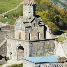
Церковь Сурб Аствацацин, Татевский монастырь
6.4 km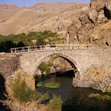
Meliq Tangi bridge
9.1 km
Tatev
6.4 km
Alan Tagavor Church
2.3 km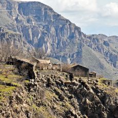
Shinuhayr Kusanats Anapat
8.6 km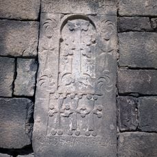
Խաչքար
8.5 km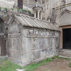
Tomb of Grigor Tatevatsi
6.5 km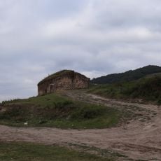
Saint Hripsime Church, Bardzravan
9.9 km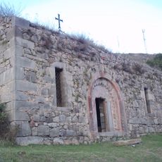
Surb Tadevos church in Khndzoresk
8.7 km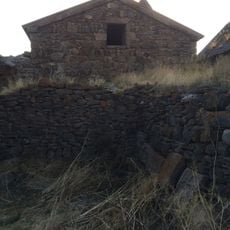
Surb Stepanos Church, Vorotnavank
11.2 km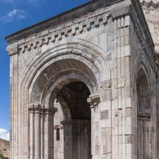
Tatev
6.5 km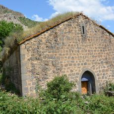
Surb Minas church, Harzhis
802 m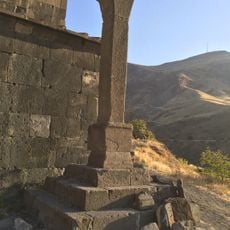
Obelisk in Vorotnavank
11.1 km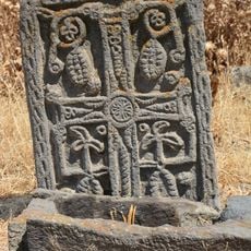
17-18 c khatchkar at chapel in Khot
9.9 km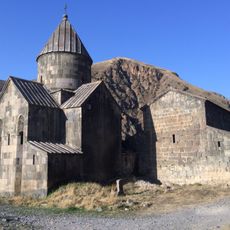
Եկեղեցի Սբ. Կարապետ
11.1 km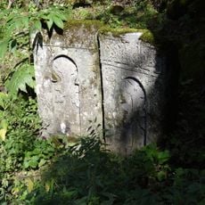
1261 khatchkar in Qrataki Saint Minas church
9.6 km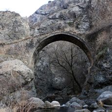
Bridge in Harzhis
3 kmVisited this place? Tap the stars to rate it and share your experience / photos with the community! Try now! You can cancel it anytime.
Discover hidden gems everywhere you go!
From secret cafés to breathtaking viewpoints, skip the crowded tourist spots and find places that match your style. Our app makes it easy with voice search, smart filtering, route optimization, and insider tips from travelers worldwide. Download now for the complete mobile experience.

A unique approach to discovering new places❞
— Le Figaro
All the places worth exploring❞
— France Info
A tailor-made excursion in just a few clicks❞
— 20 Minutes