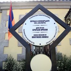
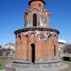
Tsaghkunyats, Mountain range in Kotayk Province, Armenia.
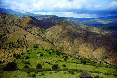
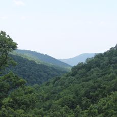
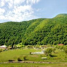
Tsaghkunyats is a mountain range in Kotayk Province that stretches across the landscape with several distinctive peaks and plateaus. The highest elevations exceed 2,800 meters, and the terrain features rolling highlands, green meadows, and forested slopes throughout the region.
This mountain range took shape through volcanic activity in distant geological times, creating a complex landscape with extinct volcanoes scattered throughout. Those ancient processes built the structure we see today, with varied rock types and distinctive landforms.
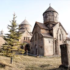
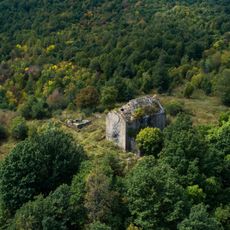
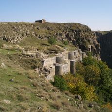
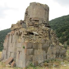
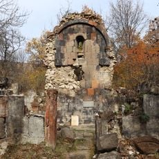
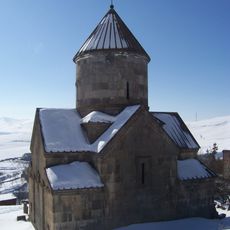
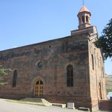
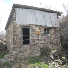
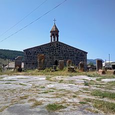
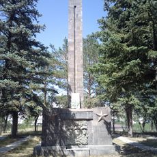
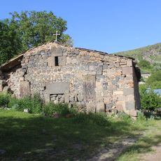
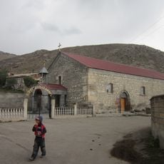
Several Armenian villages sit within and around this mountain range, where residents have lived for generations in the valleys and on the slopes. The local communities use the surrounding meadows for grazing livestock and maintain traditions closely tied to mountain life.
Multiple hiking trails cross this mountain range with access points from different villages throughout the area. The best time to explore is during warmer months when the paths are easily passable and the weather remains stable.
The region contains numerous old lava domes and cinder cones that remain visible today, clearly showing its volcanic past. These geological formations display different colors and textures that give the landscape a distinctive character.
The community of curious travelers
AroundUs brings together thousands of curated places, local tips, and hidden gems, enriched daily by 60,000 contributors worldwide.