
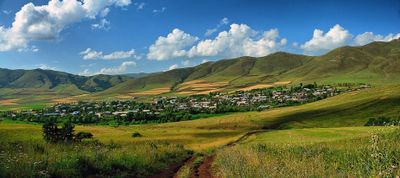
Yeghipatrush, village in Aragatsotn Province of Armenia
Location: Aragatsotn Region
Elevation above the sea: 2,000 m
GPS coordinates: 40.53861,44.47444
Latest update: March 7, 2025 06:58
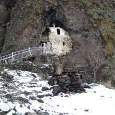
Kuys Varvara
15.9 km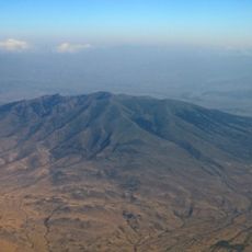
Mount Ara
14.9 km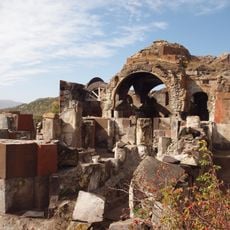
Teghenyats Monastery
7.4 km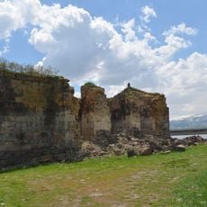
Surp Bogos Bedros Church
4.7 km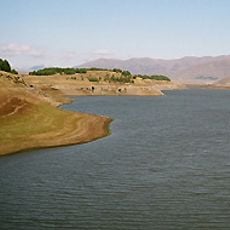
Aparan Reservoir
5.7 km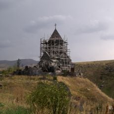
Astvatsynkal Monastery
8.8 km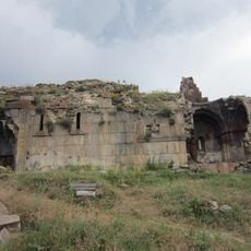
Neghuts Monastery
13 km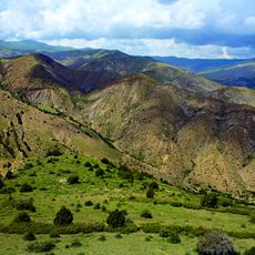
Tsaghkunyats
14.9 km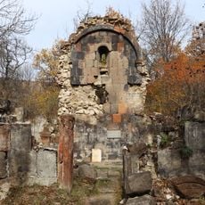
Არზაკანის ღვთისმშობლის ეკლესია
12 km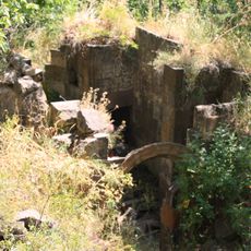
Ghuki Vank
12.1 km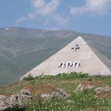
Mausoleum of Drastamat Kanayan
12.7 km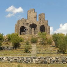
Monumental Complex in Aparan
12.4 km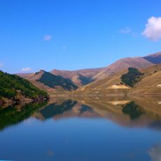
Marmarik Reservoir
11.8 km
Arzakan-Meghradzor Sanctuary
11.5 km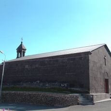
Surb Hakob
6.6 km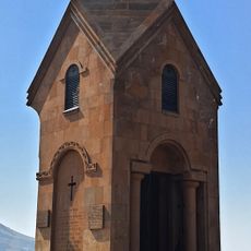
St. Mary-Elizabeth chapel
12.5 km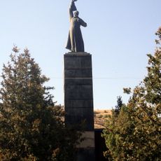
World War II monument in Arzakan
14.8 km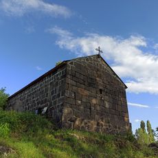
Church of the Holy Mother of God (Aparan)
11.7 km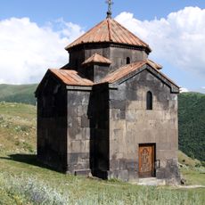
Tukh Manuk church in Lusagyugh
11.5 km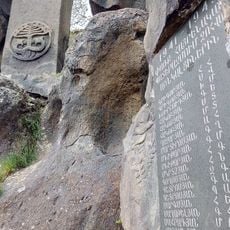
World War II memorial in Yernjatap
9.6 km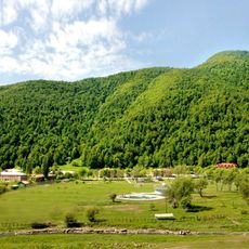
Zepyur Football Training Camp
13 km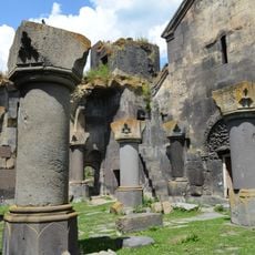
Gavit of Yeghipatrush Church
627 m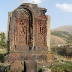
Եկեղեցի
646 m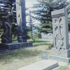
World War II memorial in Meghradzor
15.3 km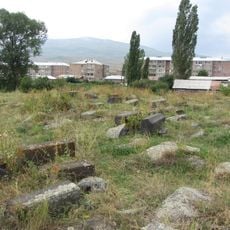
Cemetery of Holy Mother of God church, Aparan
11.7 km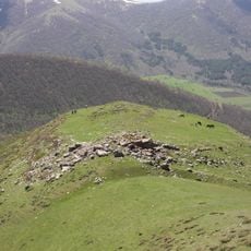
Berdi Glukh Castle
5.1 km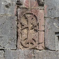
Khatchkar in Gavit of Yeghipatrush Church 2.40/3.1.2
627 m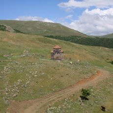
Tukh Manuk chapel of Aparan
11.5 kmVisited this place? Tap the stars to rate it and share your experience / photos with the community! Try now! You can cancel it anytime.
Discover hidden gems everywhere you go!
From secret cafés to breathtaking viewpoints, skip the crowded tourist spots and find places that match your style. Our app makes it easy with voice search, smart filtering, route optimization, and insider tips from travelers worldwide. Download now for the complete mobile experience.

A unique approach to discovering new places❞
— Le Figaro
All the places worth exploring❞
— France Info
A tailor-made excursion in just a few clicks❞
— 20 Minutes