Owambo Basin, Sedimentary basin on Congo Craton, Namibia
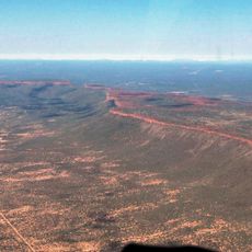
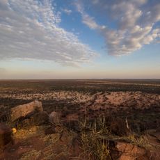
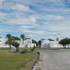
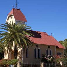
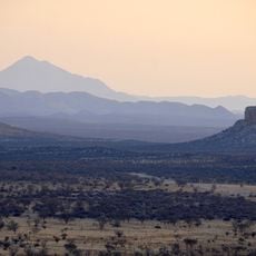
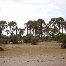
The Owambo Basin is a sedimentary depression that extends from southern Angola into northern Namibia, featuring flat terrain with gentle geological structure. Its landscape is defined by the Etosha Pan salt lake system and bounded by uplifted geological formations including the Damara Belt.
The basin originated approximately 2.2 billion years ago from crustal extension and rifting that created a structural depression with raised edges and a sunken center. Between 420 and 280 million years ago, substantial ice sheets covered the deposits, leaving distinctive patterns in the rock record.
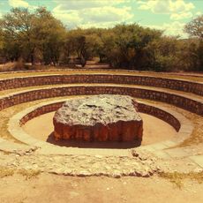
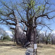
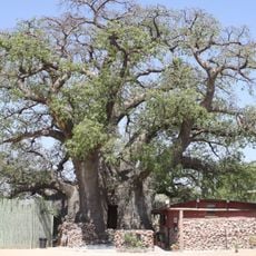
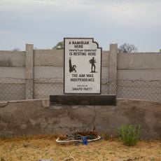
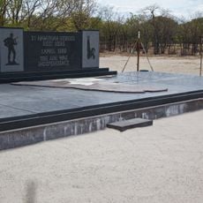
The Owambo people have long inhabited this region, organizing settlements around water sources that shape the landscape you see today. Their traditional ways of living remain visible in the villages and land use patterns across the basin.
The region is relatively flat and easy to navigate, particularly during drier seasons when roads are most passable. Seasonal variation is important to understand, as water availability and accessibility change significantly depending on rainfall patterns.
Beneath the surface lie substantial copper deposits that have been mined for decades, shaping the region's economy and development. This mineral wealth has made the area a hub of mining activity with ongoing extractive industries.
The community of curious travelers
AroundUs brings together thousands of curated places, local tips, and hidden gems, enriched daily by 60,000 contributors worldwide.