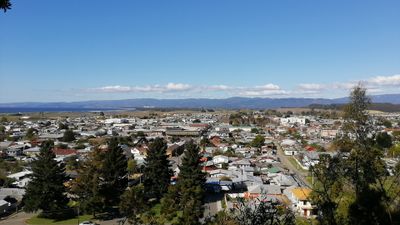
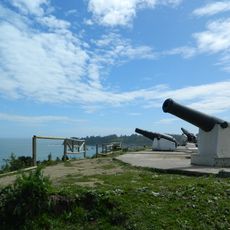
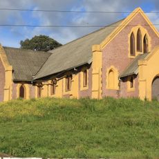
Arauco, Coastal city in Bio Bio Region, Chile.
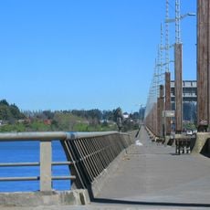
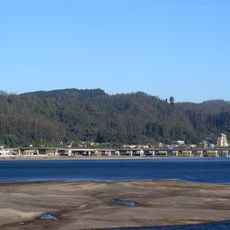
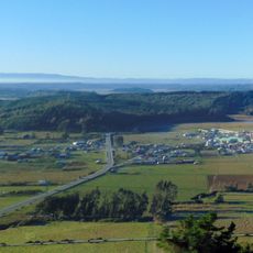
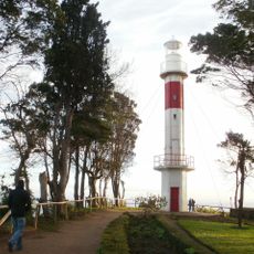
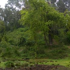
Arauco is a coastal city in the Bio Bío Region that stretches along the Pacific shore surrounded by forests and wetlands. The municipality features a wide sandy beach and sits at low elevation right by the ocean.
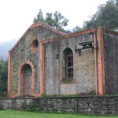
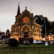
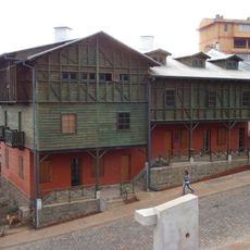
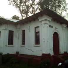
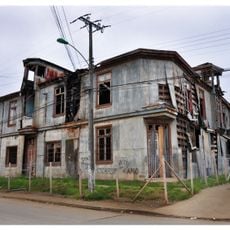
Pedro de Valdivia established Fort San Felipe de Arauco in 1552, marking the start of Spanish colonial presence in this strategic location. This founding shaped the territory's development during the centuries that followed.
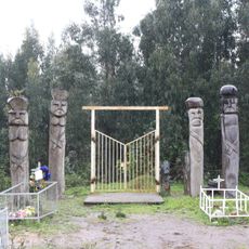
The name Arauco comes from the Mapudungun word 'ragko', meaning chalky water, and this indigenous heritage remains visible in local traditions and how residents connect with the surrounding lands. The place carries the history of the Mapuche people who have long inhabited this coastal region.
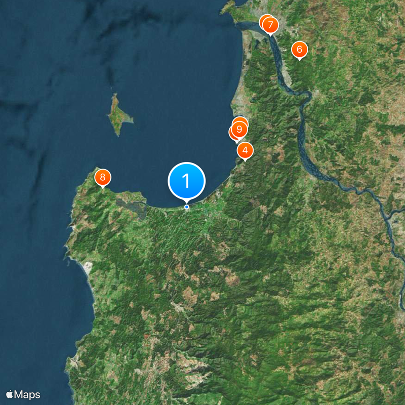
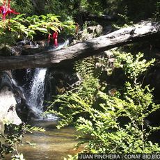
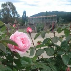
The city connects to major Chilean cities through multiple routes, making it accessible for visitors. The surrounding forests and wetlands offer trails for walking and nature exploration near the coast.
The local wetlands provide habitat for more than 100 bird species, especially during the warmer months. This variety makes the place an unexpected haven for those interested in observing birds.
Location: Arauco
Inception: 1552
Elevation above the sea: 12 m
Website: http://municipalidaddearauco.cl
GPS coordinates: -37.24630,-73.31750
Latest update: December 20, 2025 11:51
El Chiflón del Diablo
23.5 km
Parque Isidora Cousiño
21.6 km
Chivilingo Hydroelectric Plant
19.6 km
Puente Llacolén
50.5 km
Nonguén National Park
48.8 km
Puente Chacabuco
50.3 km
Llico
22.6 km
Iglesia de San Matías Apóstol, Lota
22.5 km
Anfiteatro de San Pedro de la Paz
48.4 km
Estadio Federico Schwager
29.6 km
Pabellón 83
22 km
Fort Colcura
20.9 km
Teatro de los Mineros de Lota
22.1 km
Fuerte de Santa Juana de Guadalcazar
34.4 km
Gota de Leche
22.4 km
Torre Centenario, Lota
21.8 km
Punta Lutrín lighthouse
21.3 km
Iglesia de Jesús Obrero, Schwager
27.5 km
Cabrias del pique Arenas Blancas
28.8 km
Estadio Raúl Erazo
25.3 km
Centro Cultural Comunitario Monumento Histórico Pabellón 83
22 km
Museo Mina Chiflón del Diablo
23.6 km
Sector Puchoco-Schwager
27.5 km
Eltún de Los Huape
27.8 km
Memorial por los Derechos Humanos de Coronel
28.6 km
Parque Hito a Galvarino
35.7 km
Cerro Colo Colo
885 m
Casona Eyheramendy
44.4 kmVisited this place? Tap the stars to rate it and share your experience / photos with the community! Try now! You can cancel it anytime.
Discover hidden gems everywhere you go!
From secret cafés to breathtaking viewpoints, skip the crowded tourist spots and find places that match your style. Our app makes it easy with voice search, smart filtering, route optimization, and insider tips from travelers worldwide. Download now for the complete mobile experience.
A unique approach to discovering new places❞
— Le Figaro
All the places worth exploring❞
— France Info
A tailor-made excursion in just a few clicks❞
— 20 Minutes