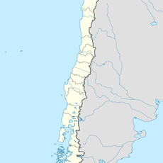
San Esteban, Administrative commune in Los Andes Province, Chile.
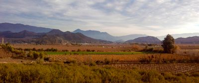
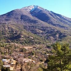
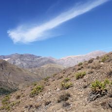
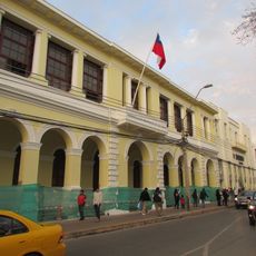
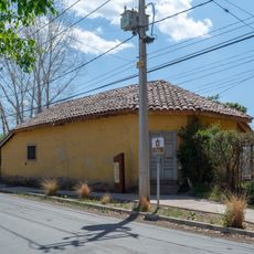
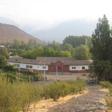
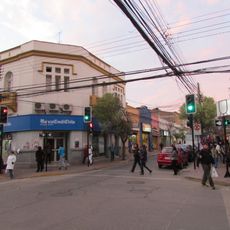
San Esteban is a commune in Chile's Valparaíso Region located at approximately 830 meters elevation in central Chile. The municipality encompasses both an urban center and extensive surrounding rural areas, with several rivers flowing through the landscape.
The territory was originally called Aconcagua Arriba and was reorganized as the Las Juntas commune in 1891. Seven years later in 1898, it adopted its current name of Villa de San Esteban.
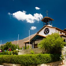
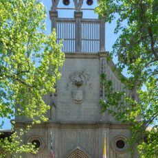
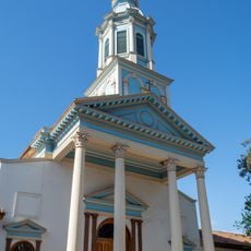
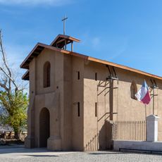
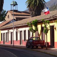
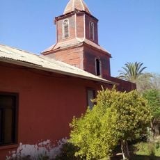
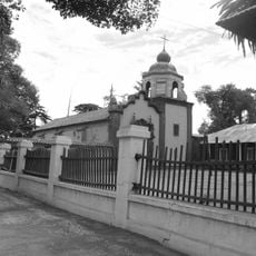
The parish church at the central plaza honors Saint Stephen and has shaped the town's identity since its establishment in the 1860s. It remains a focal point where locals and visitors gather to understand the spiritual roots of this place.
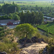
The location offers easy access to both urban facilities in the center and rural areas with river landscapes. Visitors interested in exploring the varied terrain can reach different elevations and ecosystems from this base.
Four rivers cross through the area - the Aconcagua, Colorado, Juncal, and Recillos - creating diverse landscapes and vegetation patterns in one region. These waterways shape the terrain and support multiple natural habitats within a relatively compact space.
Location: Los Andes Province
Elevation above the sea: 831 m
Website: http://munisanesteban.cl
GPS coordinates: -32.80000,-70.58333
Latest update: December 10, 2025 15:53
Santuario de Santa Teresa de Los Andes
13.7 km
Cerro El Roble
44.7 km
Tranque Las Tórtolas
39.7 km
Hacienda Quilpué
14.8 km
Estadio Municipal de San Felipe
14.9 km
Iglesia de las Carmelitas Descalzas, Los Andes
4.1 km
Enjoy Santiago
16.8 km
Iglesia de San Antonio de Padua
11.7 km
Estadio Regional de Los Andes
4.7 km
Río Blanco National Reserve
30.7 km
Iglesia del Buen Pastor, San Felipe
13.7 km
Cerro El Roble Observatory
44.8 km
La Campana-Peñuelas
43.7 km
Capilla del Retiro
14.2 km
Edificio de la Gobernación de Los Andes
3.9 km
Capilla de Lo Vicuña
26.6 km
Museo y Centro Cultural Presidente Pedro Aguirre Cerda
8.3 km
Putaendo
22.9 km
Casa de Domingo Faustino Sarmiento
8.3 km
Iglesia de Tiltil
45 km
Ex Railway Station Andes
3.3 km
Cerro Parva del Inca
39.1 km
Morro del Maqui
43.8 km
Casa de Domingo Faustino Sarmiento
8.5 km
Casa donde nació el Presidente Pedro Aguirre Cerda
8.4 km
Centro histórico de Los Andes
4 km
Hacienda Chacabuco
27.4 km
Casa donde nació José Antonio Salinas
23.1 kmVisited this place? Tap the stars to rate it and share your experience / photos with the community! Try now! You can cancel it anytime.
Discover hidden gems everywhere you go!
From secret cafés to breathtaking viewpoints, skip the crowded tourist spots and find places that match your style. Our app makes it easy with voice search, smart filtering, route optimization, and insider tips from travelers worldwide. Download now for the complete mobile experience.
A unique approach to discovering new places❞
— Le Figaro
All the places worth exploring❞
— France Info
A tailor-made excursion in just a few clicks❞
— 20 Minutes