Los Andes Province
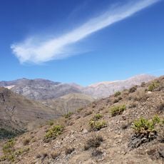
Los Andes Province, Administrative province in Valparaíso Region, Chile.
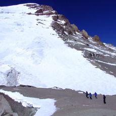
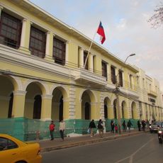
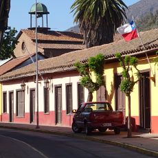
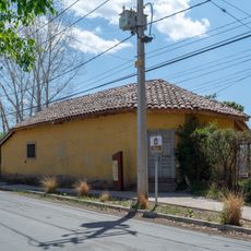
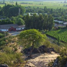
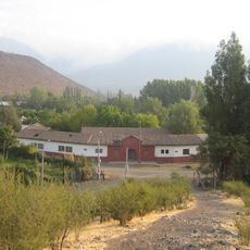
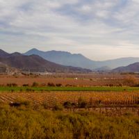
Los Andes Province is an administrative area in the Valparaíso Region made up of four municipalities: Los Andes city, San Esteban, Calle Larga, and Rinconada. The territory spans from lower valleys to high mountain areas, creating varied landscapes across its jurisdiction.
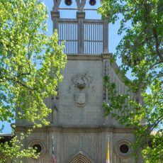
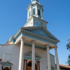
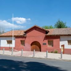
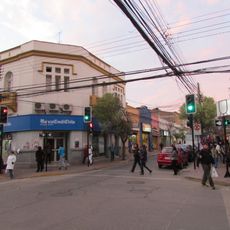
The province grew as a key trading route linking Chile and Argentina, with the capital city founded in 1791. This role as a mountain passage shaped how the territory developed economically and connected communities across the border.
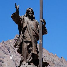
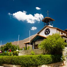
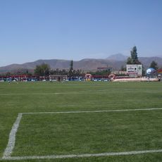
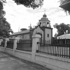
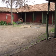
Mountain festivals throughout the year blend local traditions with agricultural celebrations across the four towns. Visitors can see how these events shape daily life and connect residents to the land and each other.
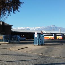
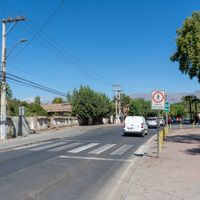
The province connects to major Chilean cities via the international Route 60, which runs from Valparaíso toward the Argentine border through Los Andes city. This main highway makes navigation straightforward and links all four municipalities across the area.
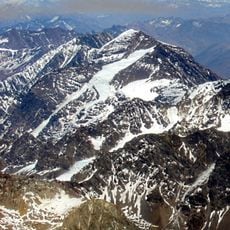
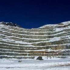
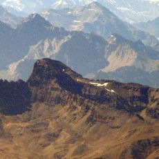
The province sits at the border between two countries and serves as a gateway for people and goods crossing the mountains. This position has shaped how communities interact with travelers from both sides of the Andes.
Location: Valparaíso Region
Capital city: Los Andes
Elevation above the sea: 2,897 m
Website: http://gobernacionlosandes.gov.cl
GPS coordinates: -32.85000,-70.35000
Latest update: December 7, 2025 20:42
Puente del Inca
41.1 km
Christ the Redeemer of the Andes
26.3 km
Santuario de Santa Teresa de Los Andes
31.1 km
Hacienda Quilpué
37 km
Polish Glacier
38 km
Estadio Municipal de San Felipe
37.4 km
Iglesia de las Carmelitas Descalzas, Los Andes
23.8 km
Enjoy Santiago
32.1 km
Nevado del Plomo
38.8 km
Nevado Juncal
32.9 km
Iglesia de San Antonio de Padua
34 km
Estadio Regional de Los Andes
23.8 km
Río Blanco National Reserve
11.9 km
Iglesia del Buen Pastor, San Felipe
36.2 km
Capilla del Retiro
31.1 km
Edificio de la Gobernación de Los Andes
23.3 km
Museo y Centro Cultural Presidente Pedro Aguirre Cerda
24.9 km
Putaendo
42.4 km
Casa de Domingo Faustino Sarmiento
25 km
Mine d'Andina
33.4 km
Ex Railway Station Andes
23.5 km
Cerro Parva del Inca
19.7 km
Casa de Domingo Faustino Sarmiento
25.3 km
Sección Puente del Inca -- Punto Inicial
41.2 km
Casa donde nació el Presidente Pedro Aguirre Cerda
25.4 km
Centro histórico de Los Andes
23.3 km
Hacienda Chacabuco
37.5 km
Casa donde nació José Antonio Salinas
42.5 kmVisited this place? Tap the stars to rate it and share your experience / photos with the community! Try now! You can cancel it anytime.
Discover hidden gems everywhere you go!
From secret cafés to breathtaking viewpoints, skip the crowded tourist spots and find places that match your style. Our app makes it easy with voice search, smart filtering, route optimization, and insider tips from travelers worldwide. Download now for the complete mobile experience.
A unique approach to discovering new places❞
— Le Figaro
All the places worth exploring❞
— France Info
A tailor-made excursion in just a few clicks❞
— 20 Minutes