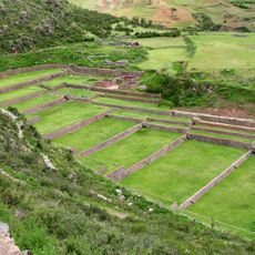
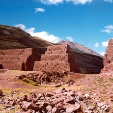
Machu Pitumarka, Archaeological site in Canchis Province, Peru.
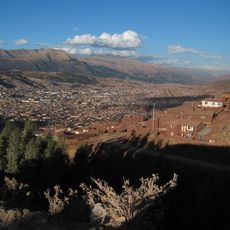
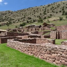
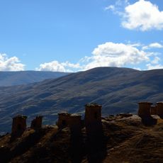
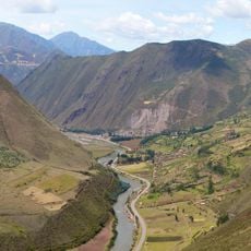
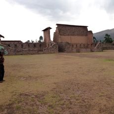
Machu Pitumarka is an archaeological site located on a hilltop northeast of Pitumarka town with multiple stone structures arranged across the slope. The complex spans three distinct sectors containing residential buildings and open areas, positioned at high elevation in the Cusco highlands.
The site was constructed between the 15th and 16th centuries and displays features rooted in the Canchis culture that flourished before Inca expansion. The settlement reflects patterns of occupation that characterized this mountain region during that era.
The site contains structures built by stacking stones without mortar, a method that shaped how the community organized space across the hillside. These construction techniques reflect practical responses to the steep terrain and local building traditions of the Andes region.
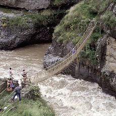
The site is reached by road from the town of Checacupe, requiring a journey through mountain landscape with variable access conditions. Visitors should wear sturdy footwear and bring extra clothing layers since elevation and weather patterns can change quickly in this region.
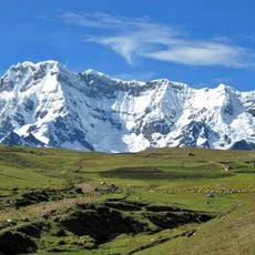
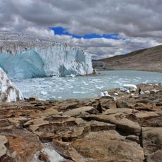
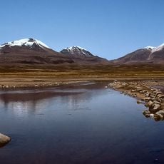
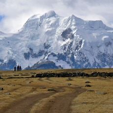
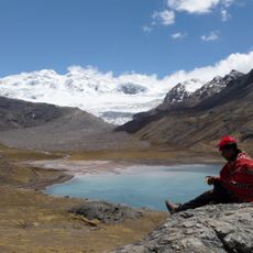
The location sits directly below the snow-capped Ausangate mountain, creating a view that connects the settlement to the highest peaks of the region. This positioning suggests the site was deliberately chosen to remain in sight of this dominant natural landmark.
The community of curious travelers
AroundUs brings together thousands of curated places, local tips, and hidden gems, enriched daily by 60,000 contributors worldwide.