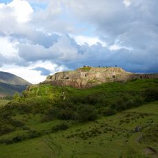
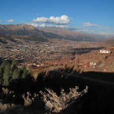
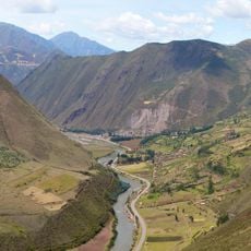
Machu Kuntur Sinqa, Mountain summit in Sacred Valley, Peru
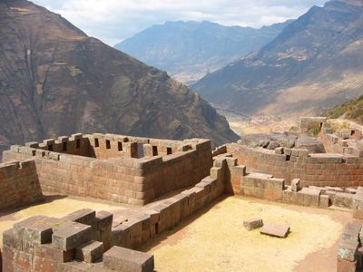
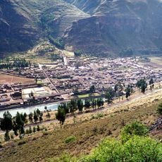
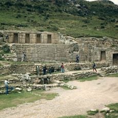
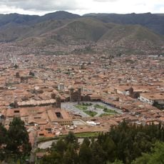
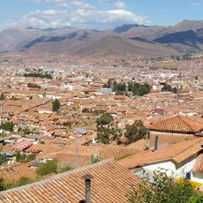
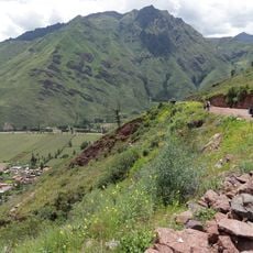
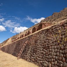
Machu Kuntur Sinqa is a mountain summit at 4,200 meters elevation standing on the right bank of the Willkanuta River near the Pisac archaeological park. The peak sits in a region with multiple ecological zones that shift with altitude and host different plant species adapted to each elevation level.
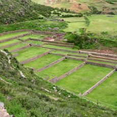
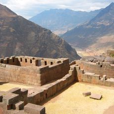
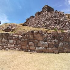
The mountain served for centuries as a geographical guide helping Indigenous peoples navigate through the Sacred Valley region. Its location made travel between different Incan settlements and agricultural areas more manageable.
The name combines three Quechua words: Machu means old, Kuntur refers to condor, and Sinqa translates to nose, reflecting local language traditions and observations of nature. This naming pattern shows how Indigenous communities described their surroundings through direct observation.
The altitude of this location requires proper acclimatization, so visitors should spend several days in Cusco before attempting the climb. Waterproof gear, warm clothing, and adequate water supply are important for safety during the ascent.
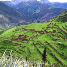
The mountain contains different vegetation zones along its slopes, with each elevation level hosting its own characteristic plant species. This natural variation makes the climb a journey through several distinct landscapes.
The community of curious travelers
AroundUs brings together thousands of curated places, local tips, and hidden gems, enriched daily by 60,000 contributors worldwide.