·

Enable Location

We need your location to show you interesting places around you

Discover nearby places

Find interesting locations and hidden gems around you

Precise directions

Get accurate directions and distances to places

Your location is never shared with other users. It's only used when you tap the location button.

Santiago de Surco

Log in to your account

Start exploring — it's free

Trusted by 62,709 travelers worldwide

Continue with Google
Continue with Apple
or

We will send you a code to connect

By continuing, you accept our Terms and Conditions and our Privacy Policy

Check your inbox

We've sent a pincode in your inbox. Please enter the code below.

Santiago de Surco

Santiago de Surco, Residential district in southeastern Lima, Peru.

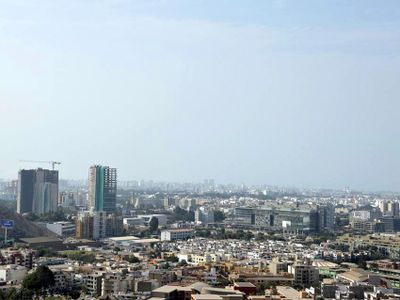
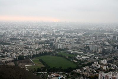
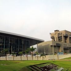
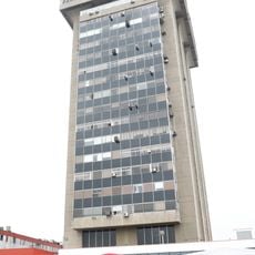
Santiago de Surco is a district in southeastern Lima, Peru, stretching from the Surco River toward the foothills of the Andes. The area combines residential neighborhoods with green spaces and shows a mix of older quarters and newer developments.

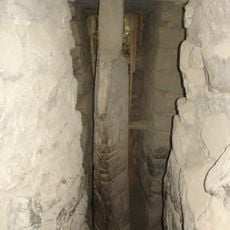
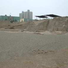
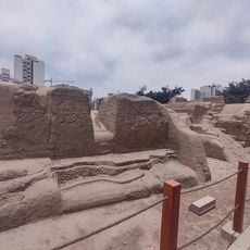
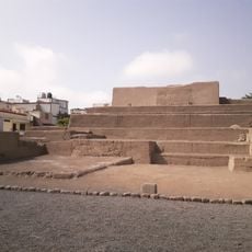
The area was settled by Spanish colonists in 1539, who planted vineyards and established farming structures. The district grew into an urban area with formal administrative structure during the 20th century.

The name comes from Quechua and means furrow or channel, referring to the irrigation systems that once shaped the land. Today you see parks and wide avenues in the neighborhoods where families walk and exercise.

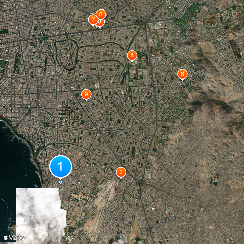
Three stations on Metro Line 1 connect the district to downtown Lima and make it easier to move around the city. The area is best explored during daylight hours when shops and parks are open.

The district hosts a horse racing track, a golf club and polo grounds that together form a sporting center in the southern part of the capital. These facilities have been operating for decades and draw visitors from different parts of the city.

The community of curious travelers

AroundUs brings together thousands of curated places, local tips, and hidden gems, enriched daily by 60,000 contributors worldwide.

Start exploring
Location
Elevation above the sea
72 m
Shares border with
Ate District, La Molina, San Juan de Miraflores, Chorrillos District, Barranco District, Miraflores, Surquillo, San Borja
GPS coordinates
-12.15000,-77.01667
Latest update
December 13, 2025 19:49
« Santiago de Surco - Residential district in southeastern Lima, Peru » is provided by Around Us (aroundus.com). Images and texts are derived from Wikimedia project under a Creative Commons license. You are allowed to copy, distribute, and modify copies of this page, under the conditions set by the license, as long as this note is clearly visible.

Discover hidden gems everywhere you go!

From secret cafés to breathtaking viewpoints, skip the crowded tourist spots and find places that match your style. Our app makes it easy with voice search, smart filtering, route optimization, and insider tips from travelers worldwide. Download now for the complete mobile experience.

Around Us App Screenshot

A unique approach to discovering new places

Le Figaro

All the places worth exploring

France Info

A tailor-made excursion in just a few clicks

20 Minutes

Around Us
Travel Guide & Maps
Download

Send to your phone

QR Code
1

Open the camera app on your mobile.

2

Point at the QR code with your camera. A notification will appear.

3

Tap the notification to open the link.