Enable Location

We need your location to show you interesting places around you

Discover nearby places

Find interesting locations and hidden gems around you

Precise directions

Get accurate directions and distances to places

Your location is never shared with other users. It's only used when you tap the location button.

Chancay District

Log in to your account

Start exploring — it's free

Trusted by 61,452 travelers worldwide

Continue with Google
Continue with Apple
or

We will send you a code to connect

By continuing, you accept our Terms and Conditions and our Privacy Policy

Check your inbox

We've sent a pincode in your inbox. Please enter the code below.

Chancay District

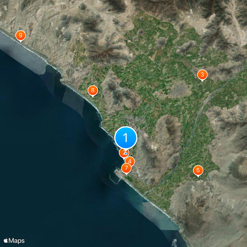
Chancay District, Coastal district in Huaral Province, Peru

Description

Chancay is a coastal district in Huaral Province that stretches from Pacific shores through farming areas and reaches approximately 44 meters in elevation. The landscape combines natural coastline with agricultural zones that form the backbone of local livelihoods.

History

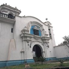
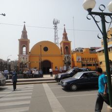
Spanish settlers founded the district in 1562, initially calling it Villa de Arnedo under the administration of Luis Flores. This establishment marked the beginning of European settlement in this coastal region.

Culture

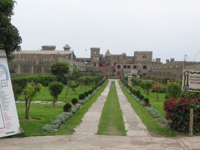
The district takes its name from the Chancay people, an ancient civilization that created distinctive handcrafted pottery and woven textiles. Today, visitors can see echoes of this heritage in local crafts and how residents connect with their ancestral roots.

Practical

The area is best explored during daytime hours when light and weather conditions are favorable. Visitors should wear comfortable shoes and prepare for a mix of coastal landscape and rural terrain.

Did you know?

The area brings together two contrasting worlds where small traditional fishing boats share waters with massive container vessels of the modern port facility. This coexistence shows how ancestral practices and contemporary development operate side by side.

Location
Capital city
Chancay
Elevation above the sea
44 m
Shares border with
Huacho District, Huaral District, Aucallama District
GPS coordinates
-11.56858,-77.26966
Latest update
December 19, 2025 23:58

AroundUs brings together thousands of curated places, local tips, and hidden gems, enriched daily by 60,000 contributors worldwide. Discover all places nearby (Huaral Province).

« Chancay District - Coastal district in Huaral Province, Peru » is provided by Around Us (aroundus.com). Images and texts are derived from Wikimedia project under a Creative Commons license. You are allowed to copy, distribute, and modify copies of this page, under the conditions set by the license, as long as this note is clearly visible.

Discover hidden gems everywhere you go!

From secret cafés to breathtaking viewpoints, skip the crowded tourist spots and find places that match your style. Our app makes it easy with voice search, smart filtering, route optimization, and insider tips from travelers worldwide. Download now for the complete mobile experience.

Around Us App Screenshot

A unique approach to discovering new places

Le Figaro

All the places worth exploring

France Info

A tailor-made excursion in just a few clicks

20 Minutes

Around Us
Travel Guide & Maps
Download

Send to your phone

QR Code
1

Open the camera app on your mobile.

2

Point at the QR code with your camera. A notification will appear.

3

Tap the notification to open the link.