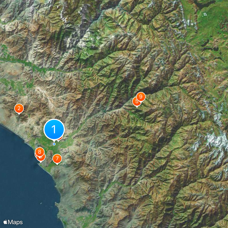
Huaral Province, Administrative province in Lima Region, Peru
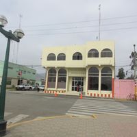
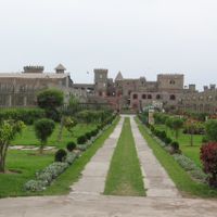
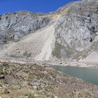
Huaral Province is an administrative area in the Lima Region that stretches from the Andes Mountains down to the Pacific Coast, creating a varied landscape. The territory includes fertile valleys, mountain terrain, and coastal zones distributed across twelve different districts.
The province was created in 1976 when eight districts from Canta and four from Huaura were combined to form a new administrative entity. This reorganization brought together areas with different geographic and economic characteristics.
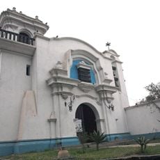
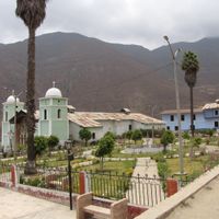
The name comes from Quechua and refers to cultivated land or garden, reflecting how agriculture has shaped this region for centuries. Visitors can see how farming and traditional practices remain central to how communities use the valleys today.
The area connects to Lima via two main highways with regular bus services throughout the region. The dry season is generally the best time to visit, as mountain passes become more accessible.
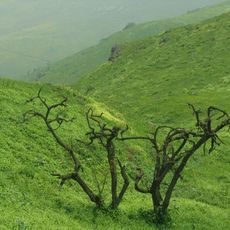
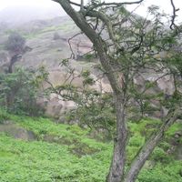
Lomas de Lachay is a rare ecosystem where fog from the Pacific supports plant life across an otherwise arid desert landscape. This natural process creates a green oasis that contrasts sharply with the barren surroundings.
The community of curious travelers
AroundUs brings together thousands of curated places, local tips, and hidden gems, enriched daily by 60,000 contributors worldwide.