Huaral District, Administrative district in Huaral Province, Peru.
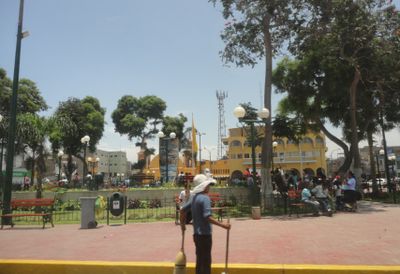
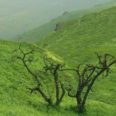
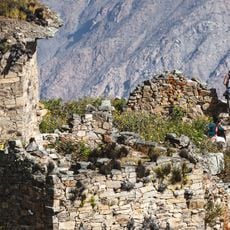
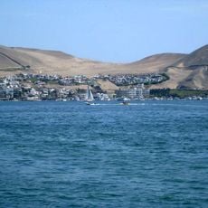
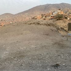
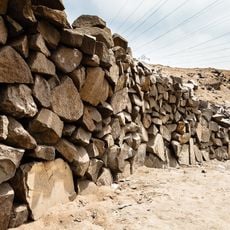
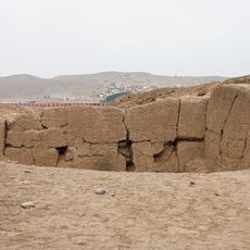
Huaral District is an administrative unit in Huaral Province that connects coastal areas with mountain regions across a large territory. The landscape includes green valleys with rivers, farmland, and higher areas in the Andes.
The area was officially established as an administrative district in 1976 when Peru reorganized its territorial divisions. This administrative system has shaped the region until today.
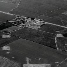
Farming shapes daily life here, with growers tending fields of vegetables and fruit in the valleys you see as you travel through the region. Local markets and the food people eat reflect this long connection to agriculture.
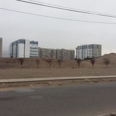
The district is connected to Lima by two main highways with regular bus services between both areas. Renting a vehicle or using local bus transport is the best way to explore the different parts of the region.
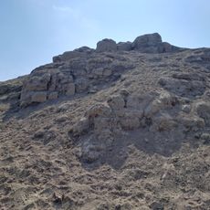
The elevation changes here are dramatic, creating different climates over a short distance from sea level to very high mountains. This natural diversity allows different crops to grow side by side, and visitors can see these differences clearly as they move through the landscape.
Location: Huaral Province
Capital city: Huaral
Shares border with: Sayán District, Ihuari District, Sumbilca District, Aucallama District, Chancay District, Huacho District
Website: http://munihuaral.gob.pe
GPS coordinates: -11.50000,-77.21000
Latest update: December 7, 2025 20:42
Lomas de Lachay
23.5 km
Castle of Chancay
10.6 km
El Paraíso
51.5 km
Hacienda Huando
3.5 km
Rúpac
48.3 km
Casa Hacienda Punchauca
43.6 km
Ancon
30.3 km
Huaca Tungasuca
47.7 km
Tambo Inga
45.9 km
Zona reservada Ancón
27.8 km
Casa Hacienda Infantas
51.8 km
Huaca Pro
51.1 km
Huaca El Retablo
51.1 kmComplejo Arqueologico Santa Luzmila
52 km
Pampa de los Perros
50.5 km
Regional Conservation Area of System of Hills of Lima
25.3 km
Huaca Infantas I
52.4 km
Huaca Sinchi Roca
51.1 km
Huaca Templo Con Con
46.9 km
Templo en U de Infantas
52.3 km
Huaca Puente Inca
51.8 km
Avenida 225
38.6 km
Municipal Bibliotecary Zoíla Casas Calderón
30.8 km
Ancon necropolis
30.8 km
Huaca Capilla Márquez
49.9 km
Pampa de los Perros
50.4 km
Huaca Cerro Culebra
50 km
Iglesia de San Juan Bautista
668 mVisited this place? Tap the stars to rate it and share your experience / photos with the community! Try now! You can cancel it anytime.
Discover hidden gems everywhere you go!
From secret cafés to breathtaking viewpoints, skip the crowded tourist spots and find places that match your style. Our app makes it easy with voice search, smart filtering, route optimization, and insider tips from travelers worldwide. Download now for the complete mobile experience.
A unique approach to discovering new places❞
— Le Figaro
All the places worth exploring❞
— France Info
A tailor-made excursion in just a few clicks❞
— 20 Minutes