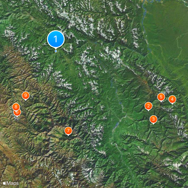
Satipo Province, Administrative province in Junin Department, Peru
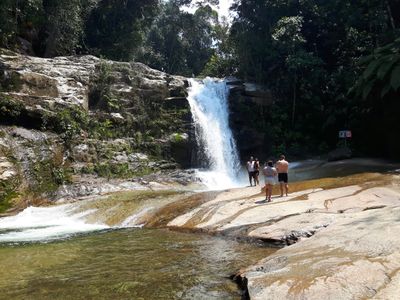
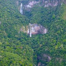
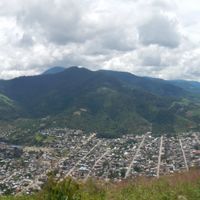
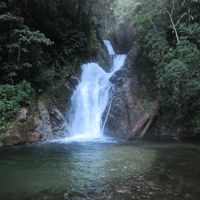
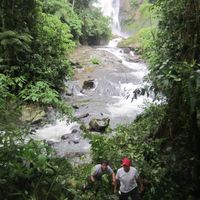
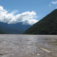
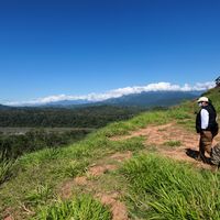
Satipo Province is an administrative territory in central Peru's Junín Department comprising nine districts. Its landscape transitions from lowland areas to mountainous terrain, with rivers and forests shaping the natural environment.
Franciscan missionaries established the first European settlement of Santa Cruz here in 1673, marking the beginning of colonial settlement. The province gradually developed as an important center for agriculture and trade with surrounding regions.
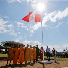
Indigenous groups such as the Asháninka, Piro, Amusha, and Nomasiguena communities live throughout the province and maintain distinct languages and customs. Visitors can encounter their traditional crafts, food, and celebrations in local villages and markets.
The province is remote and challenging to reach, so visitors should research transportation routes and seasonal conditions beforehand. Travel is generally easier during the dry season when roads are more passable.
The province spans an extreme range of elevations, from about 207 meters in the Amazon lowlands to roughly 4,866 meters at Nevado Bateadora. This dramatic elevation change creates distinctly different climates and ecosystems within a relatively small geographic area.
Location: Junin Department
Capital city: Satipo
Shares border with: Chanchamayo Province, Concepción Province, Huancayo Province, Jauja Province, Huanta Province, La Convención Province, Tayacaja Province, Oxapampa Province, Atalaya Province
GPS coordinates: -11.25411,-74.63816
Latest update: December 19, 2025 22:01
Otishi National Park
121.9 km
Tres Hermanas Falls
134.7 km
Asháninka Communal Reserve
141.7 km
Machiguenga Communal Reserve
129.4 km
Huaytapallana Regional Conservation Area
84.4 kmBosque Amaru
94.2 kmNevado Puihuan
80.2 kmPutkaqucha
63.7 kmUtkhu Warqu
63.1 kmNevado Yanahucsha
86.3 kmNevado Chupicalle
72.2 kmNevado Yanaulo
76 kmNevado Lazo Tumi
79.5 kmCerro Socsolazo
78.4 kmNevado Utcohuarco
63.4 kmNevado Putcacocha
63.9 kmNevado Jallachi
50.4 kmNevado Lazopata
56.5 kmNevado Apuhuasa
77.6 kmNevado Jochayo
62.3 kmNevado Huaytapallana
76 kmNevado Illaycocha
80.4 kmCerro Socsolazo
80.5 kmNevado Lalaccotuna
75.3 kmNevado Chapico
72.7 kmMirador al Huaytapallana
87.6 kmMirador Yanaucsha
88.8 kmAbra Huaytapallana
89.7 kmVisited this place? Tap the stars to rate it and share your experience / photos with the community! Try now! You can cancel it anytime.
Discover hidden gems everywhere you go!
From secret cafés to breathtaking viewpoints, skip the crowded tourist spots and find places that match your style. Our app makes it easy with voice search, smart filtering, route optimization, and insider tips from travelers worldwide. Download now for the complete mobile experience.
A unique approach to discovering new places❞
— Le Figaro
All the places worth exploring❞
— France Info
A tailor-made excursion in just a few clicks❞
— 20 Minutes