Enable Location

We need your location to show you interesting places around you

Discover nearby places

Find interesting locations and hidden gems around you

Precise directions

Get accurate directions and distances to places

Your location is never shared with other users. It's only used when you tap the location button.

Pangoa District

Log in to your account

Start exploring — it's free

Trusted by 63,532 travelers worldwide

Continue with Google
Continue with Apple
or

We will send you a code to connect

By continuing, you accept our Terms and Conditions and our Privacy Policy

Check your inbox

We've sent a pincode in your inbox. Please enter the code below.

Pangoa District
Discussion Reviews 1 Photos
13.5k Popularity

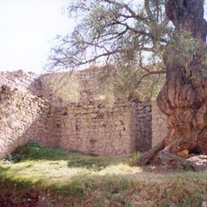
Pangoa District, Administrative district in Satipo Province, Peru

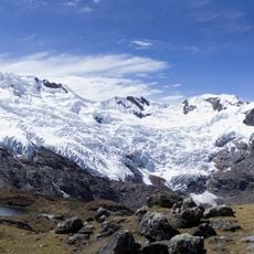
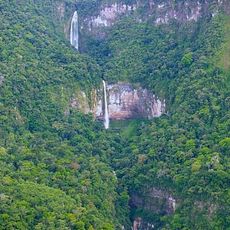
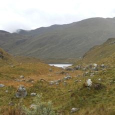
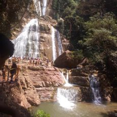
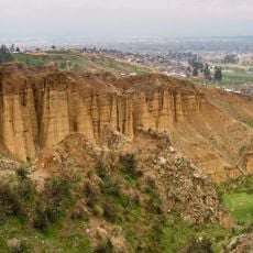
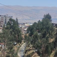
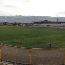
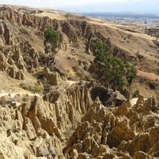
Pangoa District is an administrative district in Satipo Province located in central Peru with varied terrain and multiple waterfalls. The landscape transitions from highland areas to agricultural zones where farming communities are settled.

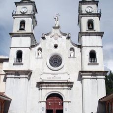
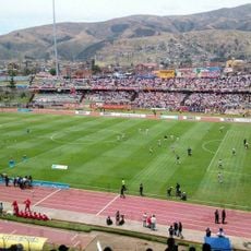
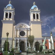
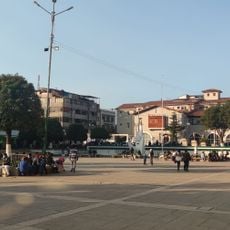
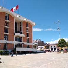
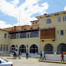
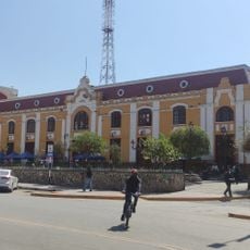
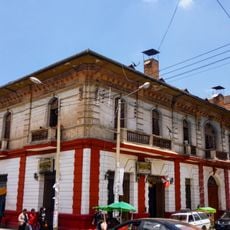
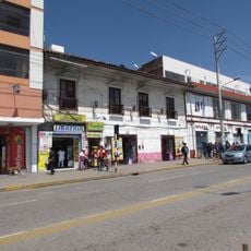
The district was established with San Martín de Pangoa serving as its administrative center, which grew into a regional hub. This settlement developed at about 676 meters elevation and has remained the seat of local governance.

Local communities grow coffee and cacao using methods passed down through generations, shaping how people work and live in this area.

The district borders eight neighboring districts and can be reached through regional connections. Navigation within the area is best done with help from local guides or residents familiar with the terrain and conditions.

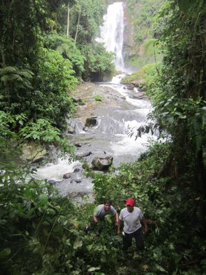
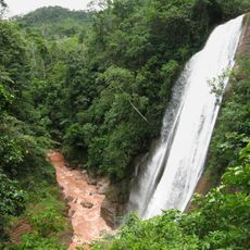
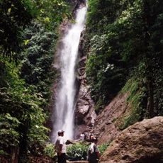
The district features multiple waterfalls scattered throughout different elevation zones across the landscape. These natural formations create striking views and are often overlooked by visitors who stick to main settlements.

The community of curious travelers

AroundUs brings together thousands of curated places, local tips, and hidden gems, enriched daily by 60,000 contributors worldwide.

Start exploring
Location
Capital city
San Martín de Pangoa
Shares border with
Llaylla District, Mazamari District, Río Tambo District, Vizcatán del Ene District, Tintay Puncu District, Huachocolpa District, Tayacaja, Santo Domingo de Acobamba District, Andamarca District
GPS coordinates
-11.42844,-74.48811
Latest update
December 7, 2025 20:26
Reviews
Share your experience

No review yet

Discussions
Start a discussion...

No discussion yet

« Pangoa District - Administrative district in Satipo Province, Peru » is provided by Around Us (aroundus.com). Images and texts are derived from Wikimedia project under a Creative Commons license. You are allowed to copy, distribute, and modify copies of this page, under the conditions set by the license, as long as this note is clearly visible.

Discover hidden gems everywhere you go!

From secret cafés to breathtaking viewpoints, skip the crowded tourist spots and find places that match your style. Our app makes it easy with voice search, smart filtering, route optimization, and insider tips from travelers worldwide. Download now for the complete mobile experience.

Around Us App Screenshot

A unique approach to discovering new places

Le Figaro

All the places worth exploring

France Info

A tailor-made excursion in just a few clicks

20 Minutes

Around Us
Travel Guide & Maps
Download

Send to your phone

QR Code
1

Open the camera app on your mobile.

2

Point at the QR code with your camera. A notification will appear.

3

Tap the notification to open the link.