Enable Location

We need your location to show you interesting places around you

Discover nearby places

Find interesting locations and hidden gems around you

Precise directions

Get accurate directions and distances to places

Your location is never shared with other users. It's only used when you tap the location button.

Catacaos

Log in to your account

Start exploring — it's free

Trusted by 61,911 travelers worldwide

Continue with Google
Continue with Apple
or

We will send you a code to connect

By continuing, you accept our Terms and Conditions and our Privacy Policy

Check your inbox

We've sent a pincode in your inbox. Please enter the code below.

Catacaos, Administrative district in Piura Province, Peru

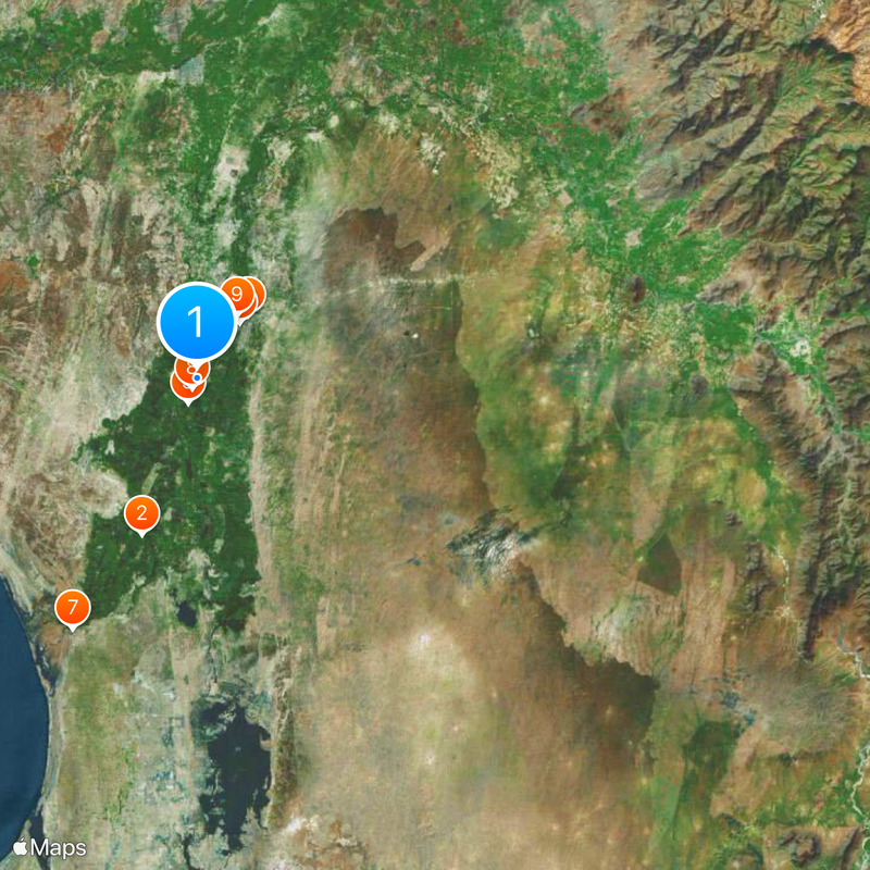
Catacaos is a district in Piura Province characterized by mostly flat terrain covered with dry tropical forest at low elevation. The landscape is predominantly agricultural and actively farmed by the local population.

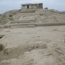
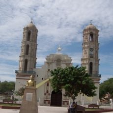
The district originated from the Tallán culture and became a parish in 1645 under Spanish rule. Later administrative developments shaped its modern territorial organization.

Local artisans continue practicing traditional techniques in gold and silver filigree, straw weaving, and woodworking that have been passed down through families. These skills shape daily life and community identity in the district.

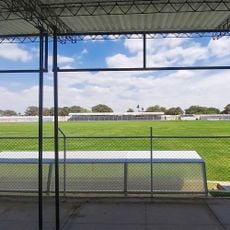
The district is accessible by car or bus along local roads, which are in better condition during the dry season. Visitors should prepare for warm and dry weather and bring light clothing and sun protection.

The name Catacaos comes from two words meaning large valley and abundant, reflecting the region's historical importance as a fertile agricultural area. This origin reveals how language preserved the memory of the landscape's generosity.

The community of curious travelers

AroundUs brings together thousands of curated places, local tips, and hidden gems, enriched daily by 60,000 contributors worldwide.

Start exploring
Location
Capital city
Catacaos
Elevation above the sea
23 m
Shares border with
Veintiséis de Octubre District, Castilla District, Cura Mori District, El Tallán District, La Arena District, Piura district, Chulucanas District, La Matanza District, Cristo Nos Valga District, Sechura District, Miguel Checa District, Olmos District
GPS coordinates
-5.26546,-80.67609
Latest update
December 20, 2025 12:39
« Catacaos - Administrative district in Piura Province, Peru » is provided by Around Us (aroundus.com). Images and texts are derived from Wikimedia project under a Creative Commons license. You are allowed to copy, distribute, and modify copies of this page, under the conditions set by the license, as long as this note is clearly visible.

Discover hidden gems everywhere you go!

From secret cafés to breathtaking viewpoints, skip the crowded tourist spots and find places that match your style. Our app makes it easy with voice search, smart filtering, route optimization, and insider tips from travelers worldwide. Download now for the complete mobile experience.

Around Us App Screenshot

A unique approach to discovering new places

Le Figaro

All the places worth exploring

France Info

A tailor-made excursion in just a few clicks

20 Minutes

Around Us
Travel Guide & Maps
Download

Send to your phone

QR Code
1

Open the camera app on your mobile.

2

Point at the QR code with your camera. A notification will appear.

3

Tap the notification to open the link.