
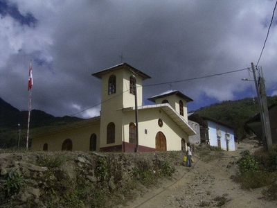
Providencia District, district in Amazonas, Peru
Location: Luya Province
Capital city: Providencia
Elevation above the sea: 1,750 m
Shares border with: Ocumal District, Choropampa District, Chimbán District, Camporredondo District, Ocalli District
GPS coordinates: -6.29785,-78.24033
Latest update: April 3, 2025 22:33
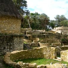
Kuelap
37.5 km
Gocta Cataracts
49.6 km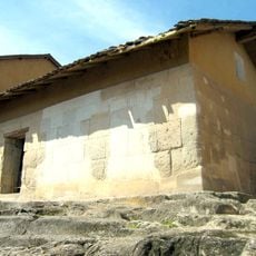
Ransom Room
100.5 km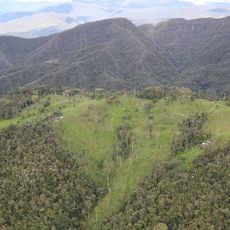
Alto Mayo Protection Forest
94.3 km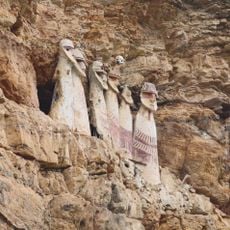
Sarcophagi of Carajía
28.5 km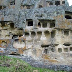
Ventanillas de Otuzco
95.3 km
Pacopampa
85.6 km
Yumbilla Falls
56.4 km
Teleférico de Kuelap
38.1 km
Pongo de Rentema
93.4 km
Revash
50.3 km
Pagaibamba Protection Forest
92.5 km
Bosques Nublados de Udima Wildlife Refuge
107.2 km
Conjunto monumental de Belén
100.6 km
Purunllacta, Soloco
58.4 km
Leimebamba museum
68.2 km
Carachupa
29.4 km
Layzon
105.7 km
Señor de Burgos Church, Amazonas
42 km
El Tintero
37.6 km
Iglesia y atrio de La Jalca
51.4 km
Cataratas Numparket
90.2 km
Atumpucro
40.8 km
Cueva Inti Machay
72 km
Cueva de las Tres Naranjas
46.4 km
Cueva de Cacapishco
93.1 km
Historic center of Cajamarca
100 km
Cueva de Atunpampa
53.2 kmReviews
Visited this place? Tap the stars to rate it and share your experience / photos with the community! Try now! You can cancel it anytime.
Discover hidden gems everywhere you go!
From secret cafés to breathtaking viewpoints, skip the crowded tourist spots and find places that match your style. Our app makes it easy with voice search, smart filtering, route optimization, and insider tips from travelers worldwide. Download now for the complete mobile experience.

A unique approach to discovering new places❞
— Le Figaro
All the places worth exploring❞
— France Info
A tailor-made excursion in just a few clicks❞
— 20 Minutes