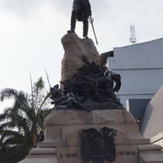
Santa Elena Canton, Administrative canton in Santa Elena Province, Ecuador
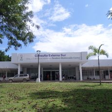
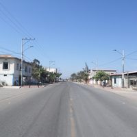
Santa Elena Canton is an administrative region on Ecuador's Pacific coast, covering a large coastal territory that includes both rural parishes and an urban center. The area spans from coastal zones to inland regions, creating diverse geographic conditions.
The region received its formal administrative designation in the early 1800s and was later shaped by petroleum exploration and development. This resource discovery significantly influenced the area's economic structure.
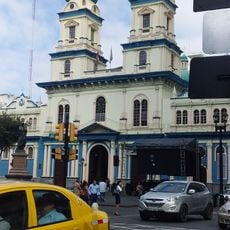
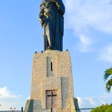
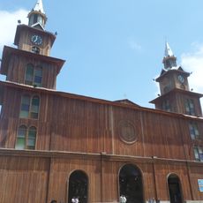
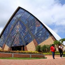
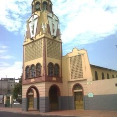
The canton is home to several ethnic groups including Mestizo, Afro-Ecuadorian, and Indigenous communities who shape local traditions and daily practices. These different populations have created a diverse cultural fabric visible in crafts, food, and how neighborhoods function.
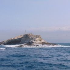
The area connects to neighboring regions through direct routes and borders Puerto López to the north and the Guayaquil region to the east. The Pacific Ocean forms the southern boundary and shapes accessibility and transportation routes.
The territory merges coastal zones with inland regions, creating diverse landscape types within a single administrative area. This geographic blend allows for different climate conditions and habitats within a short distance.
The community of curious travelers
AroundUs brings together thousands of curated places, local tips, and hidden gems, enriched daily by 60,000 contributors worldwide.