
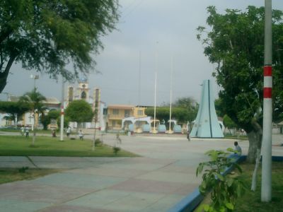
Zarumilla, district in Tumbes, Peru
Location: Zarumilla Province
Capital city: Zarumilla
Elevation above the sea: 11 m
Shares border with: Aguas Verdes, Papayal
GPS coordinates: -3.50057,-80.27499
Latest update: April 7, 2025 10:47
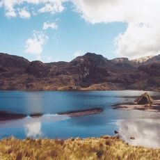
El Cajas National Park
138 km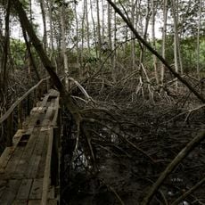
Tumbes Mangals National Sanctuary
9 km
Churute Mangroves Ecological Reserve
127.1 km
Parque seminario
151.7 km
Arenillas Ecological Reserve
14.8 km
Basilica of El Cisne
102 km
Poechos Reservoir
132.5 km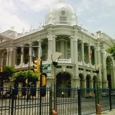
Palacio Municipal de Guayaqui
151.8 km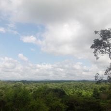
Tumbes National Reserve
44.2 km
Hospital de Especialidades Teodoro Maldonado Carbo
147.2 km
Biblioteca Municipal de Guayaquil
151.6 km
Cathedral of Loja-Parroquia El Sagrario
131.4 km
Playa Varadero
86.5 km
Palacio de Cristal de Guayaquil
151 km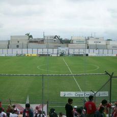
Estadio Alejandro Ponce Noboa
144.4 km
Teatro Centro Cívico Eloy Alfaro
149.6 km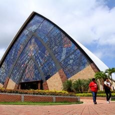
Divine Mercy Sanctuary
142.3 km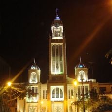
Our Lady of Mercy Cathedral, Machala
42.9 km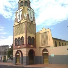
Iglesia del Cristo del Consuelo
148.4 km
Church of Our Lady of the Pillar
141.2 km
Jardín botánico Reinaldo Espinosa
80.4 km
Cerro de Arcos
90.8 km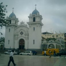
St. Nicholas Cathedral, Tumbes
22.1 km
Velero Bridge
151.8 km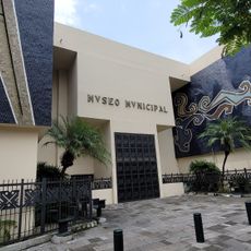
Guayaquil Municipal Museum
151.6 km
Macará River
88.6 km
Tren Crucero
130.1 km
Cañar River
109.6 kmReviews
Visited this place? Tap the stars to rate it and share your experience / photos with the community! Try now! You can cancel it anytime.
Discover hidden gems everywhere you go!
From secret cafés to breathtaking viewpoints, skip the crowded tourist spots and find places that match your style. Our app makes it easy with voice search, smart filtering, route optimization, and insider tips from travelers worldwide. Download now for the complete mobile experience.

A unique approach to discovering new places❞
— Le Figaro
All the places worth exploring❞
— France Info
A tailor-made excursion in just a few clicks❞
— 20 Minutes