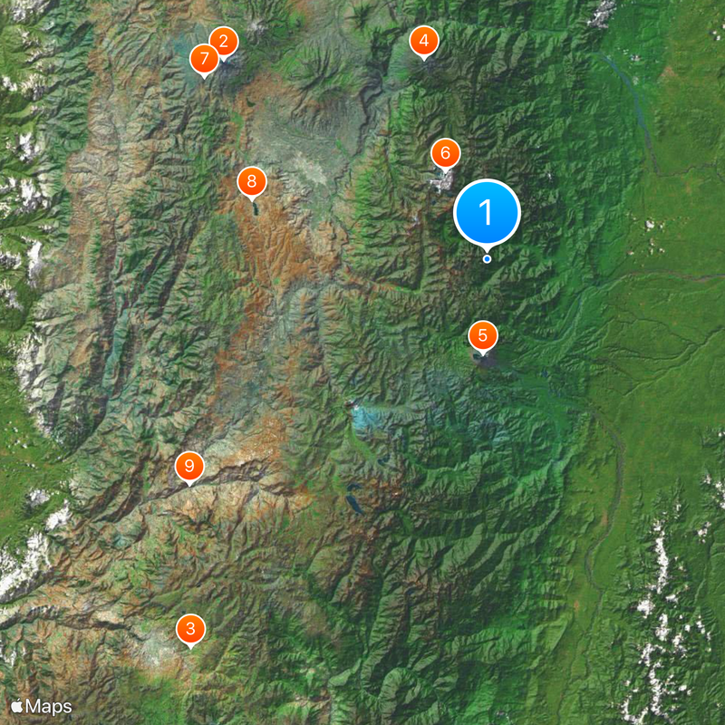
Sangay National Park, Nature reserve in Morona-Santiago Province, Ecuador.
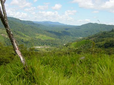
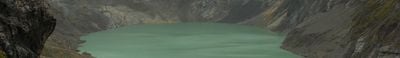
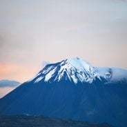
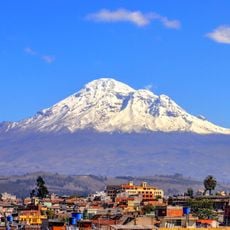
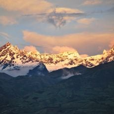
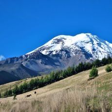
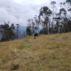
Sangay National Park spans three provinces and contains active volcanoes, tropical rainforests, cloud forests, and high-altitude grasslands ranging from 900 to 5,319 meters (3,000 to 17,450 feet) in elevation. The park encompasses distinct vegetation zones that change dramatically with altitude, creating a range of different landscapes within its boundaries.
The park was designated a UNESCO World Heritage Site in 1983 and was temporarily listed as endangered due to various pressures on the landscape. Conservation efforts improved conditions enough that it was removed from the endangered list by 2005.
The name Sangay comes from the Shuar word 'samkay', showing how indigenous communities have long recognized this volcanic land as their own.
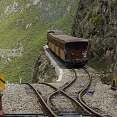
Visitors should explore the many trails with experienced local guides, as the terrain is challenging and conditions vary across different elevations and ecosystems. Careful planning and appropriate gear help ensure a safe and rewarding experience in the park.
Scientists discovered a new species of shrew opossum named Caenolestes sangay in 2013, underscoring the park's importance for biological research. Such discoveries highlight how much remains unknown about the wildlife inhabiting this region.
Location: Morona-Santiago Province
Location: Chimborazo Province
Location: Tungurahua Province
Inception: 1979
Part of: Andean Highlands
Website: http://areasprotegidas.ambiente.gob.ec/es/areas-protegidas/parque-nacional-sangay
GPS coordinates: -1.83333,-78.33333
Latest update: December 13, 2025 14:02
Ecuador offers diverse landscapes and architectural subjects for photography. The capital city of Quito features colonial buildings such as the Basilica del Voto Nacional and the narrow streets of La Ronda, while the surrounding highlands contain active volcanoes including Cotopaxi, Chimborazo, and...
Chimborazo
67.3 km
Ingapirca
99 km
Tungurahua volcano
42.8 km
Sangay volcano
19.1 km
El Altar volcano
19.9 km
Chimborazo Fauna Production Reserve
68.4 km
Iglesia de La Balbanera
49.3 km
Nariz del Diablo
75.7 km
Chimborazo
66.8 km
Cerro Soroche
60.7 km
Santuario Católico Eucarístico Diocesano San Antonio
106 km
Sacred Heart Basilica
39 km
Tulabug
31.7 km
Volcán Tungurahua
42.1 km
EC-PGPC-12/C-2011
76.3 km
Chimborazo
66 km
EC-EH-13/CS-2011
102.3 km
EC-AI-11/CS-2011
77 km
Ruinas de Paredones
88.7 km
Nizag
72.3 km
Swimming pool Colta
50.6 km
Shelter
23.4 km
Laguna Condor Cocha
69.2 km
Sol y Luna p
39.8 km
Farm the Piura
68 km
Entrance to climbing area San Juan Acantilado
64.1 km
Gallo Rumi
66 km
Novartes
42.2 kmVisited this place? Tap the stars to rate it and share your experience / photos with the community! Try now! You can cancel it anytime.
Discover hidden gems everywhere you go!
From secret cafés to breathtaking viewpoints, skip the crowded tourist spots and find places that match your style. Our app makes it easy with voice search, smart filtering, route optimization, and insider tips from travelers worldwide. Download now for the complete mobile experience.
A unique approach to discovering new places❞
— Le Figaro
All the places worth exploring❞
— France Info
A tailor-made excursion in just a few clicks❞
— 20 Minutes