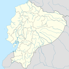
Morona-Santiago Province, Province in eastern Ecuador.
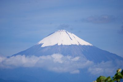
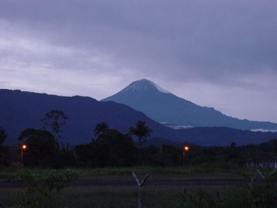
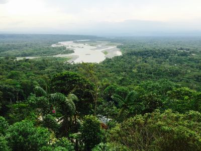
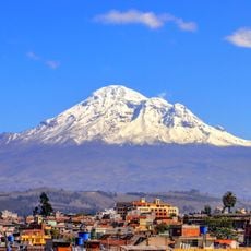
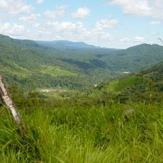
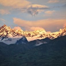
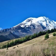
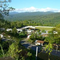
Morona Santiago stretches from the Andean ridge to the Amazon lowlands, encompassing rainforests, river valleys and highland terraces at different elevations. The landscape shifts from misty mountain forests to dense green plains, crossed by countless waterways and rolling hills.
The area formed from older administrative units and received its current status as an independent province in November 1953. Its creation followed a longer phase of political reorganizations in eastern Ecuador during the first half of the 20th century.
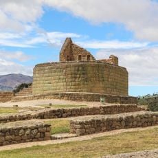
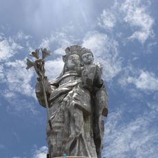
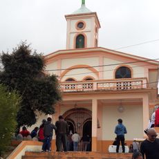
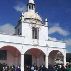
The three indigenous peoples give the region its character, speak their own languages and maintain traditions visible in small communities along the rivers. Their houses, markets and celebrations show ways of life adapted over centuries to the rainforest and mountain slopes.
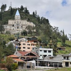
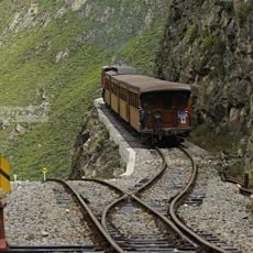
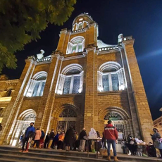
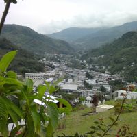
The twelve cantons of the province lie partly far apart and connect remote settlements with the administrative center Macas through roads of varying quality. Travel into the area requires time and patience, as distances and weather conditions can affect the schedule.
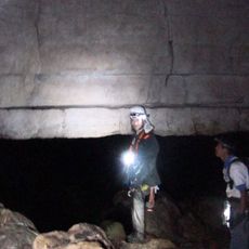
The cave system Cueva de los Tayos runs through parts of the province and holds within its underground passages both geological formations and archaeological finds. Some of these caves became known in the 1970s through an expedition that searched for ancient objects there.
Location: Ecuador
Inception: November 10, 1953
Capital city: Macas
Elevation above the sea: 808 m
Shares border with: Zamora Chinchipe, Azuay Province, Cañar Province, Chimborazo Province, Tungurahua Province, Pastaza Province, Loreto Department, Chordeleg Canton
Website: https://moronasantiago.gob.ec
GPS coordinates: -2.45000,-77.98333
Latest update: December 4, 2025 23:45
Cueva de los Tayos
71.4 km
Ingapirca
99.5 km
Tungurahua volcano
121.1 km
Sangay National Park
78.9 km
New Cathedral of Cuenca
124 km
Sangay volcano
63.6 km
El Altar volcano
98.8 km
Cascada el Pailón del Diablo
121.5 km
Museo Pumapungo
123.6 km
Shrine of the Virgin of the Cloud
100.9 km
Historic Centre of Santa Ana de los Ríos de Cuenca
124.1 km
Old Cathedral of Cuenca
123.9 km
Iglesia de La Balbanera
118.5 km
El Cóndor Biological Reserve
113.6 km
Sanctuary of the Blessed Virgin of Rocio
104.3 km
Nariz del Diablo
102 km
Our Lady of the Cloud Monument
98.9 km
Cerro Cojitambo
106.4 km
Cathedral of Azogues
101.3 km
Santuario Católico del Señor de los Milagros de Andacocha
90.1 km
Our Lady of the Rosary Cathedral, Puyo
107.4 km
Santuario Diocesano Católico del Señor de Burgos de Borma
113.2 km
Santuario Católico Eucarístico Diocesano San Antonio
107.3 km
Negro River
48.4 km
Museum of Aboriginal Cultures
124 km
Sacred Heart Basilica (Riobamba)
113.5 km
Monument to Abdón Calderón
124 km
Iglesia de San José del Vecino
123 kmReviews
Visited this place? Tap the stars to rate it and share your experience / photos with the community! Try now! You can cancel it anytime.
Discover hidden gems everywhere you go!
From secret cafés to breathtaking viewpoints, skip the crowded tourist spots and find places that match your style. Our app makes it easy with voice search, smart filtering, route optimization, and insider tips from travelers worldwide. Download now for the complete mobile experience.
A unique approach to discovering new places❞
— Le Figaro
All the places worth exploring❞
— France Info
A tailor-made excursion in just a few clicks❞
— 20 Minutes