Chimborazo Province, Administrative province in central Andes, Ecuador
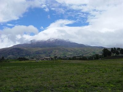
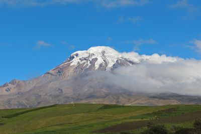
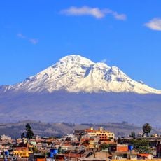
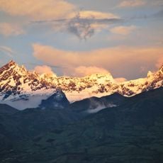
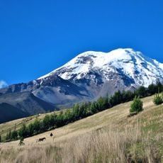
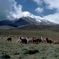
This central Andean province holds the country's tallest mountain and extends between highland valleys and the edges of the Amazon basin. The territory encompasses several cantons with varied terrain from dry highland plains to glaciated zones, with its capital city serving as the administrative and economic center.
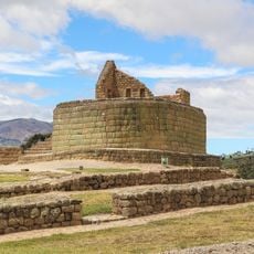
The region was established as a separate administrative unit in the early 19th century and took its name from the mountain that served as a landmark for travelers for centuries. Early settlers developed trade routes across the mountains connecting the highlands with coastal areas.
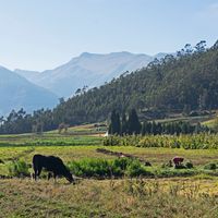
The population consists of 58.4% Mestizo and 38% Indigenous people who maintain traditional agricultural practices, cultivating potatoes and corn at high altitudes.
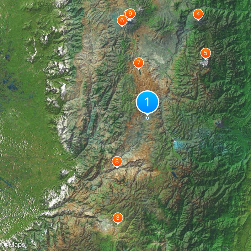
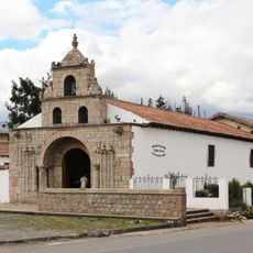
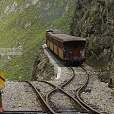
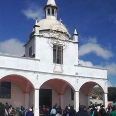
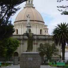
The provincial capital serves as a starting point for journeys into the surrounding mountain country, with roads leading in different directions to smaller towns and rural areas. Higher elevations require proper clothing and time to adjust to thinner air, especially when arriving from lower regions.
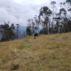
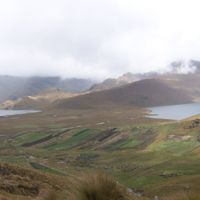
The area protects portions of a national park with diverse ecology ranging from cloud forest to alpine zones. Visitors can travel through different climatic zones in a single journey, from temperate valleys to year-round snow-capped peaks.
Location: Ecuador
Inception: June 25, 1824
Capital city: Riobamba
Elevation above the sea: 3,642 m
Shares border with: Morona-Santiago Province, Tungurahua Province, Bolívar Province, Guayas Province, Cañar Province
Website: http://chimborazo.gob.ec
GPS coordinates: -1.98333,-78.71667
Latest update: December 4, 2025 23:04
Chimborazo
58.4 km
Ingapirca
64.4 km
Tungurahua volcano
64.7 km
Sangay National Park
45.8 km
Sangay volcano
41.8 km
El Altar volcano
48.6 km
Cascada el Pailón del Diablo
79.7 km
Chimborazo Fauna Production Reserve
55.8 km
Shrine of the Virgin of the Cloud
85.6 km
Carihuairazo volcano
64.2 km
Iglesia de La Balbanera
29.4 km
Sanctuary of the Blessed Virgin of Rocio
83.9 km
Cathedral Basilica of Our Lady of the Elevation
83.1 km
Nariz del Diablo
34 km
Atocha-La Liria Botanical Garden
83.3 km
Our Lady of the Cloud Monument
83 km
Cerro Cojitambo
88.6 km
Our Lady of Mercy Cathedral, Babahoyo
93 km
Cathedral of Azogues
85.3 km
Chimborazo
58.6 km
Santuario Católico del Señor de los Milagros de Andacocha
90.1 km
Our Lady of the Rosary Cathedral, Puyo
97.4 km
Santuario Diocesano Católico del Señor de Burgos de Borma
96.7 km
Martínez-Holguín House
84.8 km
Santuario Católico Eucarístico Diocesano San Antonio
69.6 km
Negro River
96.3 km
Sacred Heart Basilica (Riobamba)
35.3 km
Monument to Abdón Calderón
106.7 kmReviews
Visited this place? Tap the stars to rate it and share your experience / photos with the community! Try now! You can cancel it anytime.
Discover hidden gems everywhere you go!
From secret cafés to breathtaking viewpoints, skip the crowded tourist spots and find places that match your style. Our app makes it easy with voice search, smart filtering, route optimization, and insider tips from travelers worldwide. Download now for the complete mobile experience.
A unique approach to discovering new places❞
— Le Figaro
All the places worth exploring❞
— France Info
A tailor-made excursion in just a few clicks❞
— 20 Minutes